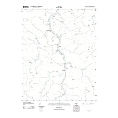
2011 Map of Branchland
USGS Topo · Published 2011About this map
The Guyandotte River winds through this central Lincoln County landscape, serving as the primary corridor for settlements like Branchland, Midkiff, and Sheridan. The terrain is defined by a dense network of hollows and ridges, including Stone Coal Hollow and McComas Ridge, where local life is deeply rooted in the creek-side topography. Genealogists will find an exceptional density of family-named burial grounds throughout these hills, such as Saunders Cemetery, Hager Cemetery, and Adkins Cemetery. These sites are often positioned on higher ground like Bear Knob or tucked into drainages like Stout Creek and Tenmile Creek. The settlement pattern follows the narrow valley floors, with places like Hubball and Rockville marking the intersections of river and rail routes. This survey provides a clear view of the rural West Virginia geography before modern developments altered these traditional mountain communities.
Find a feature on this map
107 named features on this map. Tap any name to fly to it.
Don’t see what you’re looking for? This feature index may not catch every label — zoom into the map to look around manually.
Map Details
Editions of this 2011 Branchland Map
This is the sole edition of this map. No revisions or reprints were ever made.
Other maps of this area

1892 · Huntington
USGS Topo · 1:125,000

1898 · Huntington
USGS Topo · 1:125,000

1901 · Guyandot
USGS Topo · 1:62,500

1902 · Guyandot
USGS Topo · 1:62,500

1902 · Milton
USGS Topo · 1:62,500

1902 · Midkiff
USGS Topo · 1:62,500

1907 · Midkiff
USGS Topo · 1:62,500

1909 · Wayne
USGS Topo · 1:62,500

1909 · Midkiff
USGS Topo · 1:62,500

1931 · Wayne
USGS Topo · 1:62,500