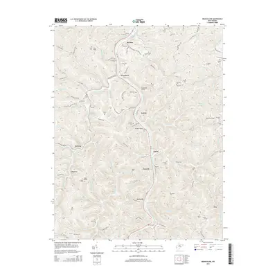
2014 Map of Branchland
USGS Topo · Published 2014About this map
The Guyandotte River carves a deep path through Lincoln County, serving as the primary corridor for settlements like Branchland, Midkiff, and Hubball. This 2014 survey reveals a landscape where road networks like WV-10 follow the river's winding course, connecting small communities tucked into the narrow valleys. The density of family-named burial sites across the ridges and hollows, such as Jeffers Cem, Sloan Cem, and Peyton Cem, points to generations of deep-rooted local history in this part of West Virginia. Steep topography is a defining characteristic, with notable landmarks like McComas Ridge and Stone Coal Hollow flanking the river. Small settlements such as Rockville and Bradyville remain tied to the river's hydrology, while further west, the terrain rises toward Flag Knob and Bear Knob.
Find a feature on this map
143 named features on this map. Tap any name to fly to it.
Don’t see what you’re looking for? This feature index may not catch every label — zoom into the map to look around manually.
Map Details
Editions of this 2014 Branchland Map
This is the sole edition of this map. No revisions or reprints were ever made.
Other maps of this area

1892 · Huntington
USGS Topo · 1:125,000

1898 · Huntington
USGS Topo · 1:125,000

1901 · Guyandot
USGS Topo · 1:62,500

1902 · Guyandot
USGS Topo · 1:62,500

1902 · Milton
USGS Topo · 1:62,500

1902 · Midkiff
USGS Topo · 1:62,500

1907 · Midkiff
USGS Topo · 1:62,500

1909 · Wayne
USGS Topo · 1:62,500

1909 · Midkiff
USGS Topo · 1:62,500

1931 · Wayne
USGS Topo · 1:62,500