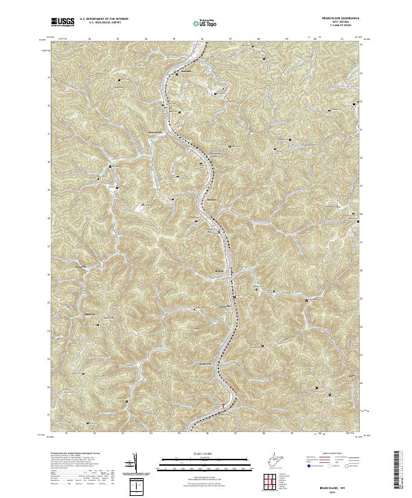
2023 Map of Branchland
USGS Topo · Published 2023About this map
The Guyandotte River carves a deep path through Lincoln County, anchoring a string of valley settlements including Branchland, Midkiff, and Rockville. This detailed topographic view illustrates the enduring mountain geography of West Virginia, where development is tightly constrained to the narrow floodplains and hollows. Roads like Riverview Ave and Co HWY 10/8 follow the river's winding course, connecting small communities and family burial grounds that dot the hillsides.
Find a feature on this map
130 named features on this map. Tap any name to fly to it.
Don’t see what you’re looking for? This feature index may not catch every label — zoom into the map to look around manually.
Map Details
Editions of this 2023 Branchland Map
This is the sole edition of this map. No revisions or reprints were ever made.
Other maps of this area

1892 · Huntington
USGS Topo · 1:125,000

1898 · Huntington
USGS Topo · 1:125,000

1901 · Guyandot
USGS Topo · 1:62,500

1902 · Guyandot
USGS Topo · 1:62,500

1902 · Milton
USGS Topo · 1:62,500

1902 · Midkiff
USGS Topo · 1:62,500

1907 · Midkiff
USGS Topo · 1:62,500

1909 · Wayne
USGS Topo · 1:62,500

1909 · Midkiff
USGS Topo · 1:62,500

1931 · Wayne
USGS Topo · 1:62,500