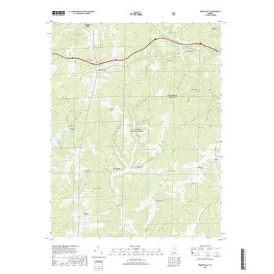
2019 Map of Branchville
USGS Topo · Published 2019About this map
Hoosier National Forest dominates this section of Southern Indiana, where the deeply dissected topography is marked by numerous hollows and ridges. Small settlements like Saint Croix, Branchville, and West Fork are scattered along the ridge tops and valley floors, connected by a network of rural roads such as E State Rd 62. The area is notably dense with family and community burial grounds, including the Branchville Walker Cem, Luxemburger Cem, and Guillaume Cem, which offer significant value for genealogical research in Perry and Crawford Counties.
Find a feature on this map
58 named features on this map. Tap any name to fly to it.
Don’t see what you’re looking for? This feature index may not catch every label — zoom into the map to look around manually.
Map Details
Editions of this 2019 Branchville Map
This is the sole edition of this map. No revisions or reprints were ever made.
Other maps of this area

1950 · Beechwood
USGS Topo · 1:24,000

1950 · English
USGS Topo · 1:24,000

1950 · Alton
USGS Topo · 1:62,500

1950 · Alton
USGS Topo · 1:24,000

1951 · Alton
USGS Topo · 1:24,000

1954 · Derby
USGS Topo · 1:24,000

1956 · Taswell
USGS Topo · 1:24,000

1956 · Vincennes
USGS Topo · 1:250,000

1957 · Vincennes
USGS Topo · 1:250,000

1957 · Birdseye
USGS Topo · 1:24,000