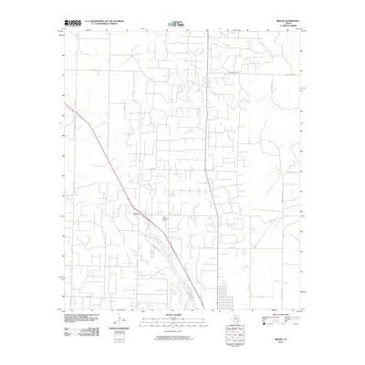
2010 Map of Brand
USGS Topo · Published 2010About this map
Kelly Snyder Oil Field dominates the industrial landscape of this Scurry County region, where the extraction economy is etched into the earth through a dense network of access roads and service routes. The small community of Brand serves as a central point along the diagonal corridor of the US highway, surrounded by a complex grid of rural county roads like Co RD 278 and N Fm 1611. This 2010 survey illustrates the transition from traditional ranching lands to a modern energy-producing geography, with local drainages like Deep Creek and Ennis Creek winding through the parcels. The presence of Kings Highway Pl near the oil field suggests the layering of historic naming conventions over a landscape primarily defined by contemporary petroleum infrastructure.
Find a feature on this map
29 named features on this map. Tap any name to fly to it.
Don’t see what you’re looking for? This feature index may not catch every label — zoom into the map to look around manually.
Map Details
Editions of this 2010 Brand Map
This is the sole edition of this map. No revisions or reprints were ever made.
Other maps of this area

1952 · Snyder
USGS Topo · 1:24,000

1952 · Ira NE
USGS Topo · 1:24,000

1952 · Hermleigh
USGS Topo · 1:24,000

1954 · Lloyd Mountain
USGS Topo · 1:24,000

1954 · Dermott
USGS Topo · 1:24,000

1954 · Brand
USGS Topo · 1:24,000

1954 · Big Spring
USGS Topo · 1:250,000

1958 · Big Spring
USGS Topo · 1:250,000

1969 · Maverick Creek
USGS Topo · 1:24,000

1969 · Flat Top Mountain
USGS Topo · 1:24,000