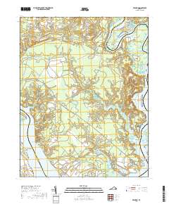
2019 Map of Brandon
USGS Topo · Published 2019About this map
Brandon and Lower Brandon anchor the southern reaches of this landscape along the banks of the James River, where the Brandon Plantation Cem reflects the long-standing heritage of this riverfront corridor. The map details a complex network of waterways and wetlands, including Kennon Marsh and the tidal reaches of Tomahund Creek. Further north, the confluence of the Chickahominy River and its various distributaries creates a fragmented coastline of points and islands, such as Big Marsh Point and Parsons Island.
Find a feature on this map
68 named features on this map. Tap any name to fly to it.
Don’t see what you’re looking for? This feature index may not catch every label — zoom into the map to look around manually.
Map Details
Editions of this 2019 Brandon Map
This is the sole edition of this map. No revisions or reprints were ever made.
Other maps of this area

1917 · Toano
USGS Topo · 1:62,500

1918 · Charles City
USGS Topo · 1:62,500

1918 · Toano
USGS Topo · 1:62,500

1919 · Surry
USGS Topo · 1:62,500

1919 · Disputanta
USGS Topo · 1:62,500

1943 · Savedge
USGS Topo · 1:31,680

1943 · Richmond
USGS Topo · 1:250,000

1949 · Richmond
USGS Topo · 1:250,000
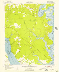
1952 · Brandon
USGS Topo · 1:24,000
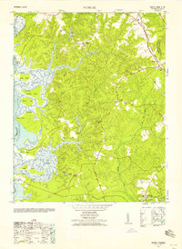
1952 · Norge
USGS Topo · 1:24,000