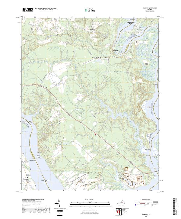
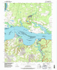
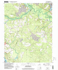
2022 Map of Brandon
USGS Topo · Published 2022About this map
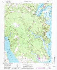
The James River and Chickahominy River define the intricate shoreline of Charles City County, where the historic Brandon estate and Lower Brandon sit near the riverbanks. This landscape is characterized by its tidal geography, featuring numerous named points and marshes such as Trees Point, Blank Point, and the expansive Sunken Marsh. The Brandon Plantation Cem serves as a significant genealogical marker near the southern bank.
Find a feature on this map
65 named features on this map. Tap any name to fly to it.
Don’t see what you’re looking for? This feature index may not catch every label — zoom into the map to look around manually.
Map Details
Editions of this 2022 Brandon Map
This is the sole edition of this map. No revisions or reprints were ever made.
Historical Maps of Blanks Store Through Time
15 maps found
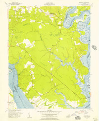
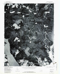
1952 Brandon
Charles City County, VA
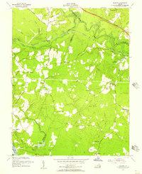
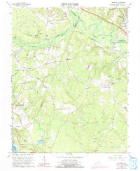
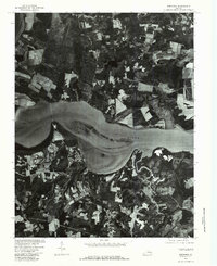
1953 Roxbury
Charles City County, VA
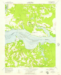
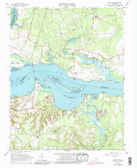
1953 Westover
Charles City County, VA
1965 Brandon
Charles City County, VA
1965 Roxbury
Charles City County, VA
1965 Westover
Charles City County, VA
1974 Roxbury
Charles City County, VA
1978 Brandon
Charles City County, VA
1979 Westover
Charles City County, VA
1994 Roxbury
Charles City County, VA
1994 Westover
Charles City County, VA
1999 Roxbury
Charles City County, VA
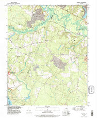
2022 Brandon
Charles City County, VA
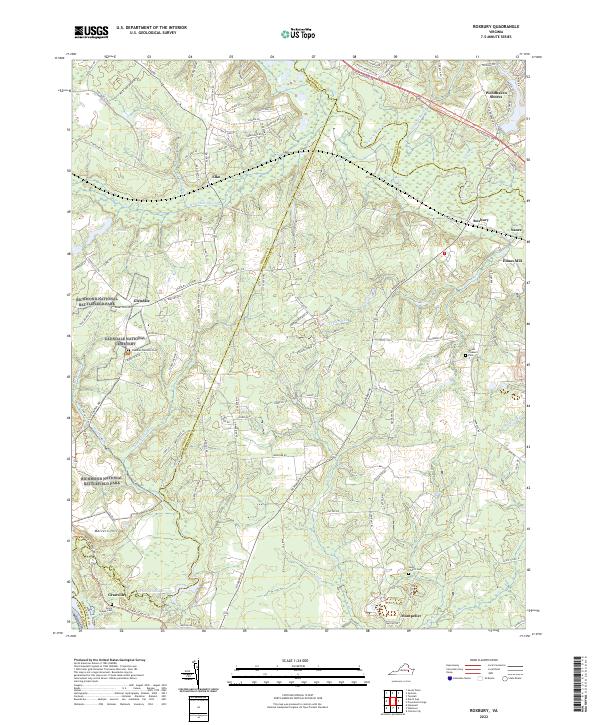
2022 Roxbury
Charles City County, VA
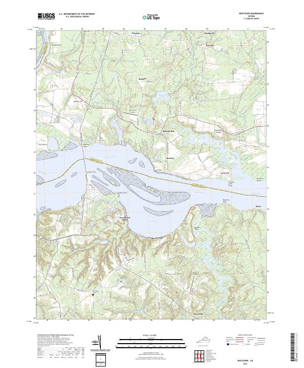
2022 Westover
Charles City County, VA