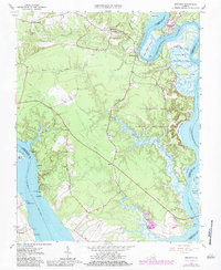
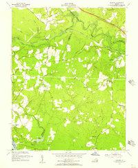
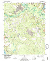
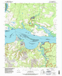
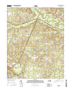
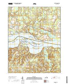
1965 Map of Brandon
USGS Topo · Published 1984About this map
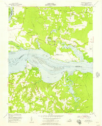
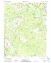
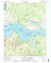
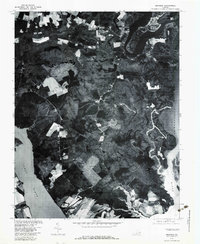
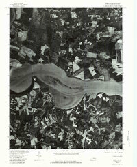
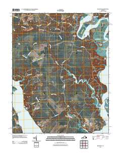
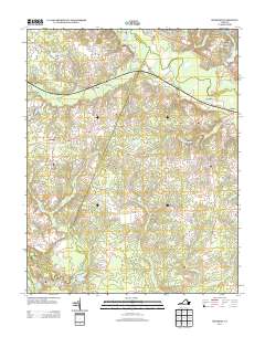
The Tidewater region of Virginia is defined here by the confluence of the James River and the Chickahominy River, creating a landscape of tidal flats and winding creeks. On the southern bank, the historic settlement of Brandon sits near Brandon Point, opposite the expansive Chickahominy State Wildlife Management Area. The interior of Charles City County is dotted with small communities like Holdcroft, Rustic, and Binns Hall, connected by a network of roads and numerous jeep trails that cut through the timbered terrain.
Find a feature on this map
43 named features on this map. Tap any name to fly to it.
Don’t see what you’re looking for? This feature index may not catch every label — zoom into the map to look around manually.
Map Details
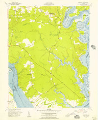
Editions of this 1965 Brandon Map
3 editions found
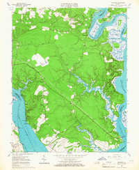
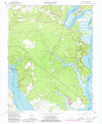
Historical Maps of Brandon Through Time
27 maps found
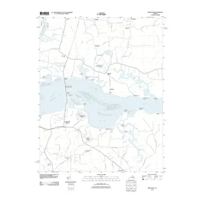
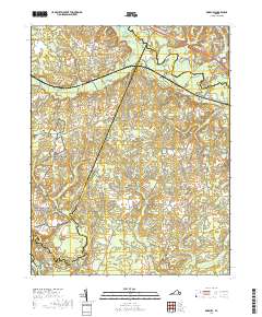
1952 Brandon
Charles City County, VA
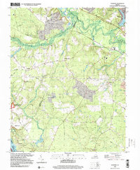
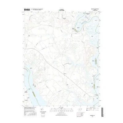
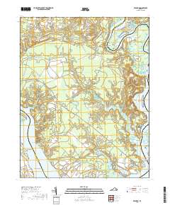
1953 Roxbury
Charles City County, VA
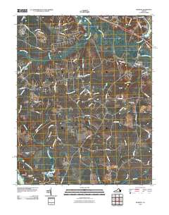
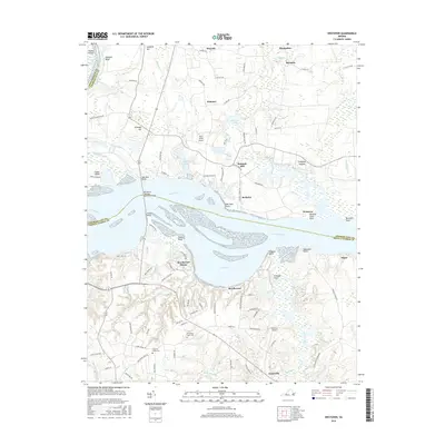
1953 Westover
Charles City County, VA
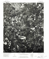
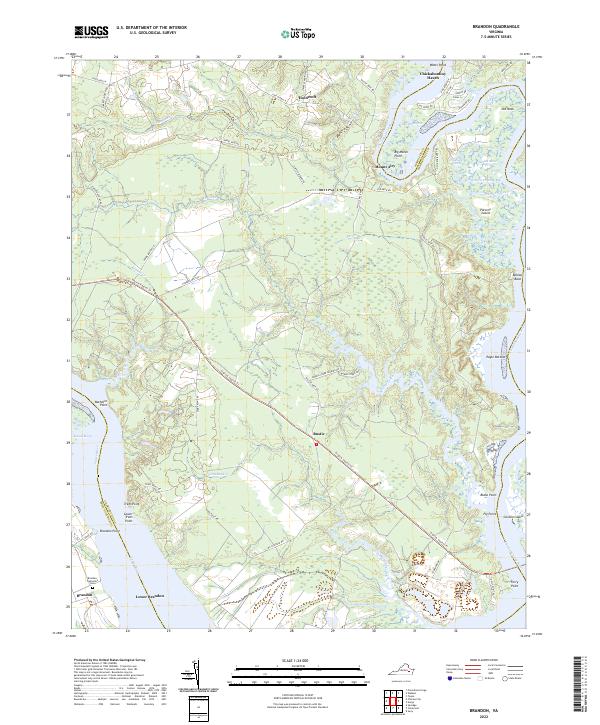
1965 Brandon
Charles City County, VA
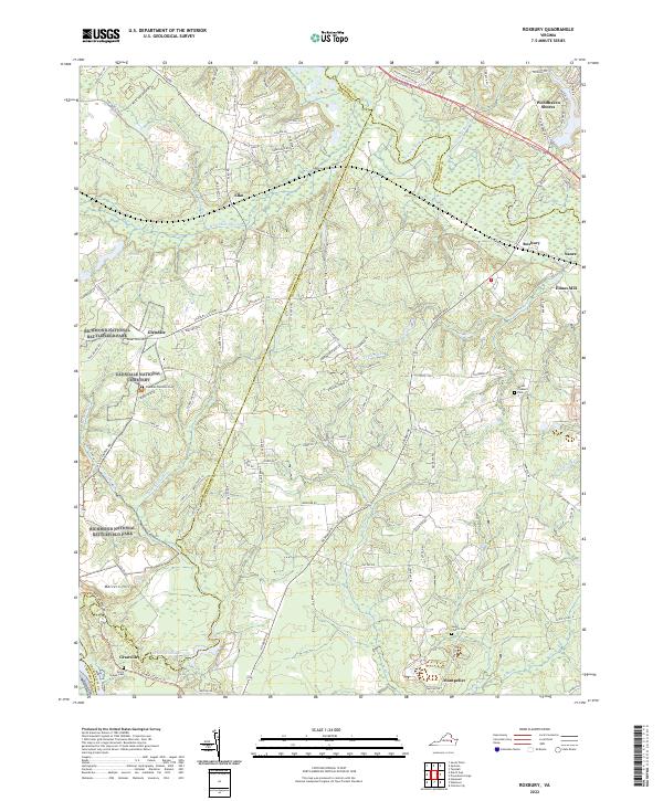
1965 Roxbury
Charles City County, VA
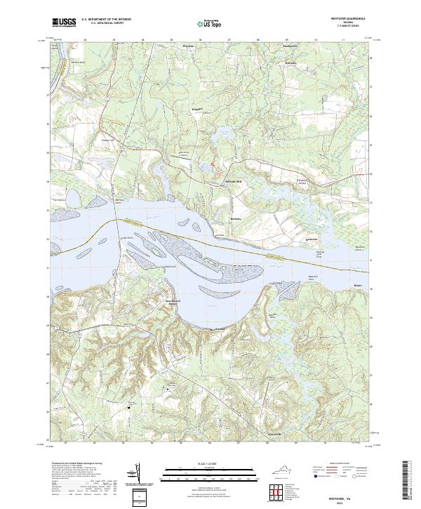
1965 Westover
Charles City County, VA
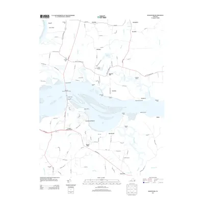
1974 Roxbury
Charles City County, VA
1978 Brandon
Charles City County, VA
1979 Westover
Charles City County, VA
1994 Roxbury
Charles City County, VA
1994 Westover
Charles City County, VA
1999 Roxbury
Charles City County, VA
2010 Roxbury
Charles City County, VA
2010 Westover
Charles City County, VA
2011 Brandon
Charles City County, VA

2013 Brandon
Charles City County, VA
2013 Roxbury
Charles City County, VA
2013 Westover
Charles City County, VA
2016 Brandon
Charles City County, VA
2016 Roxbury
Charles City County, VA
2016 Westover
Charles City County, VA
2019 Brandon
Charles City County, VA
2019 Roxbury
Charles City County, VA
2019 Westover
Charles City County, VA
2022 Brandon
Charles City County, VA
2022 Roxbury
Charles City County, VA
2022 Westover
Charles City County, VA