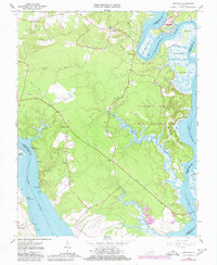
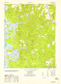
1965 Map of Brandon
USGS Topo · Published 1980About this map
The James River and Chickahominy River converge in this mid-century survey of the Virginia Tidewater. The landscape is defined by the tidal reaches of Eagle Bottom and Sunken Marsh, where small settlements like Binns Hall, Rustic, and Holdercroft dot the high ground above the wetlands. This era shows a transition from traditional river-fronting life to more modern infrastructure, marked by the prominent Pipeline cutting diagonally across the terrain and the emergence of recreation at Chickahominy Haven Marina. Genealogists and local historians will find several rural spiritual centers, including Mt Pleasant Ch, Liberty Ch, and Jerusalem Ch, while the southern shore near Brandon reveals a pattern of historic river-bend landings and points such as Lower Trees Point and Bachelor Point.
Find a feature on this map
40 named features on this map. Tap any name to fly to it.
Don’t see what you’re looking for? This feature index may not catch every label — zoom into the map to look around manually.
Map Details
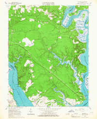
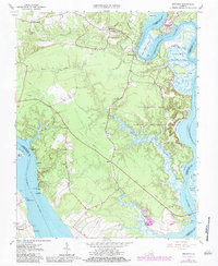
Editions of this 1965 Brandon Map
3 editions found
Other maps of this area

1917 · Toano
USGS Topo · 1:62,500

1918 · Charles City
USGS Topo · 1:62,500

1918 · Toano
USGS Topo · 1:62,500

1919 · Surry
USGS Topo · 1:62,500

1919 · Disputanta
USGS Topo · 1:62,500

1943 · Savedge
USGS Topo · 1:31,680

1943 · Richmond
USGS Topo · 1:250,000

1949 · Richmond
USGS Topo · 1:250,000
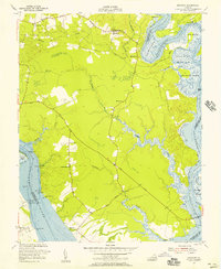
1952 · Brandon
USGS Topo · 1:24,000
1952 · Norge
USGS Topo · 1:24,000