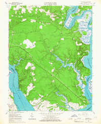
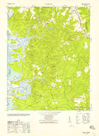
1965 Map of Brandon
USGS Topo · Published 1967About this map
James River and Chickahominy River tidal waters define this mid-1960s landscape, illustrating a region shaped by its intricate shoreline and low-lying marshes. The settlement of Brandon anchors the southwestern bank, while smaller communities like Holdcroft and Binns Hall are connected by a network of rural roads and a prominent cross-country Pipeline. The map reveals the ecclesiastical importance of the area through several named sanctuaries, including Liberty Ch, Mt Zion Ch, and Jerusalem Ch.
Find a feature on this map
37 named features on this map. Tap any name to fly to it.
Don’t see what you’re looking for? This feature index may not catch every label — zoom into the map to look around manually.
Map Details
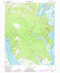
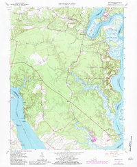
Editions of this 1965 Brandon Map
3 editions found
Other maps of this area

1917 · Toano
USGS Topo · 1:62,500

1918 · Charles City
USGS Topo · 1:62,500

1918 · Toano
USGS Topo · 1:62,500

1919 · Surry
USGS Topo · 1:62,500

1919 · Disputanta
USGS Topo · 1:62,500

1943 · Savedge
USGS Topo · 1:31,680

1943 · Richmond
USGS Topo · 1:250,000

1949 · Richmond
USGS Topo · 1:250,000
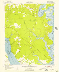
1952 · Brandon
USGS Topo · 1:24,000
1952 · Norge
USGS Topo · 1:24,000