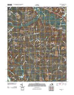
2010 Map of Roxbury
USGS Topo · Published 2010About this map
The James River and the Chickahominy River define the hydraulic character of this Virginia landscape, where centuries of history intersect with modern development. At the southern edge, Granville and the high ground of Malvern Hill overlook the river flats near Shirley Millpond, preserving the geographic context of the Peninsula Campaign. The interior is a complex network of wetlands and small drainages, including White Oak Swamp and Possum Run, which have historically dictated settlement patterns and road placements like Charles City Rd.
Find a feature on this map
84 named features on this map. Tap any name to fly to it.
Don’t see what you’re looking for? This feature index may not catch every label — zoom into the map to look around manually.
Map Details
Editions of this 2010 Roxbury Map
This is the sole edition of this map. No revisions or reprints were ever made.
Other maps of this area

1894 · Bermuda Hundred
USGS Topo · 1:62,500

1894 · Richmond
USGS Topo · 1:62,500

1895 · Richmond
USGS Topo · 1:62,500

1918 · Charles City
USGS Topo · 1:62,500

1920 · King William
USGS Topo · 1:62,500

1934 · Seven Pines
USGS Topo · 1:24,000

1938 · Dutch Gap
USGS Topo · 1:24,000

1938 · Seven Pines
USGS Topo · 1:31,680

1943 · Dutch Gap
USGS Topo · 1:31,680

1943 · Hopewell
USGS Topo · 1:31,680