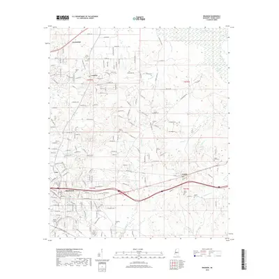
2018 Map of Brandon
USGS Topo · Published 2018About this map
Brandon serves as the focal point of this Rankin County landscape, where the developing suburban character of Flowood meets the more rural reaches of central Mississippi. The map reveals a dense network of local roads and residential subdivisions radiating from the historic core, contrasted by the winding courses of Pelahatchie Creek and Richland Cr. Smaller settlements such as Langford and Value are clearly defined, while the presence of numerous community burial sites, including Jordan Grove Cem and Mount Carmel Cem, provides a detailed record of local family history. Along the southern edge, the terrain is shaped by the drainage patterns of Terrapin Skin Cr and Eutacutachee Cr, illustrating the transition from managed residential areas to the creek-fed lowlands that define the region's geography.
Find a feature on this map
125 named features on this map. Tap any name to fly to it.
Don’t see what you’re looking for? This feature index may not catch every label — zoom into the map to look around manually.
Map Details
Editions of this 2018 Brandon Map
This is the sole edition of this map. No revisions or reprints were ever made.
Other maps of this area

1903 · Jackson
USGS Topo · 1:125,000

1905 · Jackson
USGS Topo · 1:48,000

1906 · Florence
USGS Topo · 1:62,500

1908 · Jackson
USGS Topo · 1:62,500

1908 · Florence
USGS Topo · 1:62,500

1922 · Pelahatchee
USGS Topo · 1:48,000

1924 · Pelahatchee
USGS Topo · 1:62,500

1950 · Pelahatchie
USGS Topo · 1:62,500

1952 · Pelahatchie
USGS Topo · 1:62,500

1953 · Meridian
USGS Topo · 1:250,000