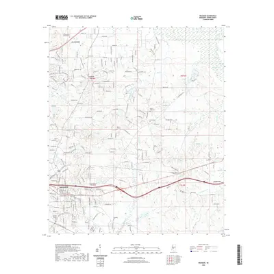
2020 Map of Brandon
USGS Topo · Published 2020About this map
The city of Brandon serves as a central hub in Rankin County, where civic institutions like the Rankin County Chancery Court and Rankin County Justice Center are clustered near the historic downtown. The surrounding landscape is defined by its deep genealogical roots, visible through a high concentration of burial grounds including the Old Brandon Cem and the sprawling Brandon Memory Gardens. Moving north, the suburban expansion around Flowood and Langford contrasts with the more open, creek-carved terrain of the east.
Find a feature on this map
160 named features on this map. Tap any name to fly to it.
Don’t see what you’re looking for? This feature index may not catch every label — zoom into the map to look around manually.
Map Details
Editions of this 2020 Brandon Map
This is the sole edition of this map. No revisions or reprints were ever made.
Other maps of this area

1903 · Jackson
USGS Topo · 1:125,000

1905 · Jackson
USGS Topo · 1:48,000

1906 · Florence
USGS Topo · 1:62,500

1908 · Jackson
USGS Topo · 1:62,500

1908 · Florence
USGS Topo · 1:62,500

1922 · Pelahatchee
USGS Topo · 1:48,000

1924 · Pelahatchee
USGS Topo · 1:62,500

1950 · Pelahatchie
USGS Topo · 1:62,500

1952 · Pelahatchie
USGS Topo · 1:62,500

1953 · Meridian
USGS Topo · 1:250,000