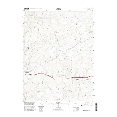
2016 Map of Brandonville
USGS Topo · Published 2016About this map
Brandonville and the surrounding borderlands of West Virginia and Pennsylvania define this topographic study, where the Appalachian landscape is etched by a network of creeks and small farming settlements. The map centers on the northern edge of Preston County, showing the proximity of Hazelton and Clifton Mills to the historic Pennsylvania West Virginia state line. The terrain is marked by prominent elevations like Kelley Knob and a dense hydrography of runs and creeks, including Little Sandy Creek and Big Sandy Creek.
Find a feature on this map
120 named features on this map. Tap any name to fly to it.
Don’t see what you’re looking for? This feature index may not catch every label — zoom into the map to look around manually.
Map Details
Editions of this 2016 Brandonville Map
This is the sole edition of this map. No revisions or reprints were ever made.
Other maps of this area

1900 · Accident
USGS Topo · 1:62,500

1900 · Uniontown
USGS Topo · 1:62,500

1904 · Bruceton
USGS Topo · 1:62,500

1922 · Confluence
USGS Topo · 1:62,500

1926 · Bruceton
USGS Topo · 1:62,500

1931 · Uniontown
USGS Topo · 1:62,500

1931 · Confluence
USGS Topo · 1:62,500

1931 · Bruceton Mills
USGS Topo · 1:62,500

1933 · Confluence
USGS Topo · 1:62,500

1933 · Bruceton
USGS Topo · 1:62,500