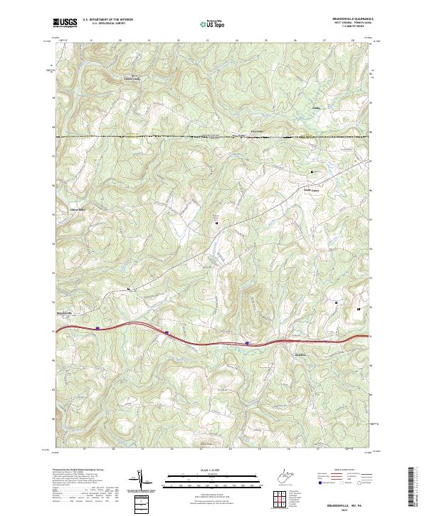
2023 Map of Brandonville
USGS Topo · Published 2023About this map
Brandonville and Hazelton anchor the southern reaches of this landscape where the modern interstate corridor cuts through the high country of Preston County. The legendary Mason-Dixon Rd serves as the political boundary between West Virginia and Pennsylvania, separating Gibbon Glade to the north from the rolling highlands of the south. This area is defined by a dense network of mountain streams, including Little Sandy Creek, Fike Run, and Elk Run, which carve through a terrain dotted with family-named landmarks and small crossroads like Clifton Mills and Glade Farms.
Find a feature on this map
113 named features on this map. Tap any name to fly to it.
Don’t see what you’re looking for? This feature index may not catch every label — zoom into the map to look around manually.
Map Details
Editions of this 2023 Brandonville Map
This is the sole edition of this map. No revisions or reprints were ever made.
Other maps of this area

1900 · Accident
USGS Topo · 1:62,500

1900 · Uniontown
USGS Topo · 1:62,500

1904 · Bruceton
USGS Topo · 1:62,500

1922 · Confluence
USGS Topo · 1:62,500

1926 · Bruceton
USGS Topo · 1:62,500

1931 · Uniontown
USGS Topo · 1:62,500

1931 · Confluence
USGS Topo · 1:62,500

1931 · Bruceton Mills
USGS Topo · 1:62,500

1933 · Confluence
USGS Topo · 1:62,500

1933 · Bruceton
USGS Topo · 1:62,500