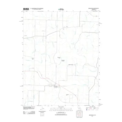
2011 Map of Brandsville
USGS Topo · Published 2011About this map
Brandsville serves as the primary hub in this portion of Howell County, situated along the corridor of Old Route 63. The landscape is defined by a dense network of watercourses, including the Warm Fork Spring River and the winding Elk Creek, which feed into the area's varied topography of hollows and karst features like Harbeston Sink. Several smaller settlements and historical points of interest are scattered throughout the quadrangle, such as Cull in the north and the community of Howell Valley. Local history is preserved in landmarks like the Francis Cemetery and descriptive terrain names such as Rattlesnake Hollow. The map also documents specific crossings, including Pocohontas Crossing and Hunter Crossing, reflecting the importance of managed passage across the many creeks and branches that dissect this Ozark region.
Find a feature on this map
47 named features on this map. Tap any name to fly to it.
Don’t see what you’re looking for? This feature index may not catch every label — zoom into the map to look around manually.
Map Details
Editions of this 2011 Brandsville Map
This is the sole edition of this map. No revisions or reprints were ever made.
Other maps of this area

1938 · West Plains
USGS Topo · 1:24,000

1940 · West Plains
USGS Topo · 1:24,000

1943 · Thayer
USGS Topo · 1:62,500

1944 · West Plains
USGS Topo · 1:62,500

1945 · Willow Springs
USGS Topo · 1:62,500

1945 · Montier
USGS Topo · 1:62,500

1946 · Thayer
USGS Topo · 1:62,500

1946 · West Plains
USGS Topo · 1:62,500

1948 · Montier
USGS Topo · 1:62,500

1948 · Willow Springs
USGS Topo · 1:62,500