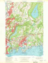
1967 Map of Branford
USGS Topo · Published 1970About this map
Totoket Mountain dominates the eastern interior of this coastal survey, shielding the massive Lake Gaillard reservoir from the more developed corridor of North Branford. The landscape transition from the industrial valley of the Quinnipiac River near North Haven to the rocky, island-strewn shoreline of Long Island Sound reveals a complex 1960s suburban and industrial network. Transportation is anchored by the Penn Central rail lines and the Connecticut Turnpike, which bisect the coastal communities.
Find a feature on this map
129 named features on this map. Tap any name to fly to it.
Don’t see what you’re looking for? This feature index may not catch every label — zoom into the map to look around manually.
Map Details
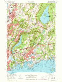
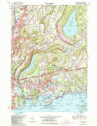
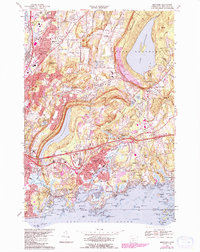
Editions of this 1967 Branford Map
4 editions found
Other maps of this area

1892 · New Haven
USGS Topo · 1:62,500

1893 · Guilford
USGS Topo · 1:62,500

1921 · New Haven
USGS Topo · 1:62,500

1943 · Durham
USGS Topo · 1:25,000

1943 · New Haven
USGS Topo · 1:31,680

1947 · Hartford
USGS Topo · 1:250,000

1948 · Hartford
USGS Topo · 1:250,000
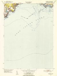
1951 · Woodmont
USGS Topo · 1:31,680

1953 · Durham
USGS Topo · 1:31,680

1954 · Guilford
USGS Topo · 1:31,680