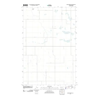
2011 Map of Brantford NE
USGS Topo · Published 2011About this map
Robinson Coulee carves through the northern portion of this landscape, a prominent hydrological feature in a region defined by scattered wetlands and glacial depressions. The land is organized by a strict cardinal grid of rural roads, including 23rd St NE and 81st Ave NE, reflecting the systematic agricultural partitioning of the North Dakota prairie.
Find a feature on this map
15 named features on this map. Tap any name to fly to it.
Don’t see what you’re looking for? This feature index may not catch every label — zoom into the map to look around manually.
Map Details
Editions of this 2011 Brantford NE Map
This is the sole edition of this map. No revisions or reprints were ever made.
Other maps of this area

1928 · Tokio
USGS Topo · 1:62,500

1930 · Hamar
USGS Topo · 1:62,500

1931 · Tokio
USGS Topo · 1:62,500

1944 · Brantford
USGS Topo · 1:62,500

1946 · Brantford
USGS Topo · 1:62,500

1949 · Grace City
USGS Topo · 1:24,000

1950 · Brantford NW
USGS Topo · 1:24,000

1950 · Grace City
USGS Topo · 1:24,000

1950 · Brantford
USGS Topo · 1:24,000

1950 · Brantford NE
USGS Topo · 1:24,000