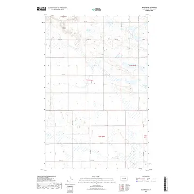
2017 Map of Brantford NE
USGS Topo · Published 2017About this map
Medicine Lake sits at the eastern edge of this landscape, a region defined by its dense concentration of prairie potholes and wetlands. The topography is marked by glacial features, most notably the broad expanse of Tiffany Flats and the winding drainage of Robinson Coulee in the northwest. This area of North Dakota is segmented by a precise grid of rural routes, including Co Rd 2 and numerous township roads such as 22nd St NE and 80th Ave NE. The map illustrates the persistent section-line road system that has governed transport and land division since settlement, maintaining a rural character dominated by water-filled depressions and open terrain.
Find a feature on this map
23 named features on this map. Tap any name to fly to it.
Don’t see what you’re looking for? This feature index may not catch every label — zoom into the map to look around manually.
Map Details
Editions of this 2017 Brantford NE Map
This is the sole edition of this map. No revisions or reprints were ever made.
Other maps of this area

1928 · Tokio
USGS Topo · 1:62,500

1930 · Hamar
USGS Topo · 1:62,500

1931 · Tokio
USGS Topo · 1:62,500

1944 · Brantford
USGS Topo · 1:62,500

1946 · Brantford
USGS Topo · 1:62,500

1949 · Grace City
USGS Topo · 1:24,000

1950 · Brantford NW
USGS Topo · 1:24,000

1950 · Grace City
USGS Topo · 1:24,000

1950 · Brantford
USGS Topo · 1:24,000

1950 · Brantford NE
USGS Topo · 1:24,000