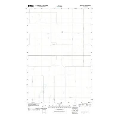
2011 Map of Brantford NW
USGS Topo · Published 2011About this map
Tiffany Flats dominates the central portion of this Eddy County landscape, reflecting the characteristic prairie topography of central North Dakota. The area is defined by a strictly organized grid of rural roads, including 74th Ave NE and 23rd St NE, which facilitate movement between the numerous seasonal wetlands and small lakes that dot the terrain. The presence of County Rd 6 as a primary north-south artery suggests a landscape where connectivity is focused on agricultural transport and regional access. This 2011 survey illustrates the high density of prairie potholes—small, water-filled depressions that are vital to the local ecology and hydrology—showing how the natural water system persists despite the geometric precision of the township and range section lines that define the property boundaries across the flats.
Find a feature on this map
15 named features on this map. Tap any name to fly to it.
Don’t see what you’re looking for? This feature index may not catch every label — zoom into the map to look around manually.
Map Details
Editions of this 2011 Brantford NW Map
This is the sole edition of this map. No revisions or reprints were ever made.
Other maps of this area

1928 · Tokio
USGS Topo · 1:62,500

1931 · Oberon
USGS Topo · 1:62,500

1931 · Tokio
USGS Topo · 1:62,500

1944 · Brantford
USGS Topo · 1:62,500

1946 · Brantford
USGS Topo · 1:62,500

1948 · New Rockford
USGS Topo · 1:62,500

1949 · Grace City
USGS Topo · 1:24,000

1950 · New Rockford NE
USGS Topo · 1:24,000

1950 · Brantford NW
USGS Topo · 1:24,000

1950 · Grace City
USGS Topo · 1:24,000