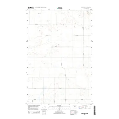
2014 Map of Brantford NW
USGS Topo · Published 2014About this map
Robinson Coulee and the broad expanse of Tiffany Flats dominate the rural landscape of Eddy County in this 2014 survey. The terrain is defined by its agricultural grid, where section lines are traced by a network of local roads such as 74th Ave NE and 22nd St NE. This quadrangle illustrates the systematic prairie settlement pattern typical of the region, with scattered farmsteads connected by unpaved corridors and the primary east-west artery of ND-15. While the area remains predominantly open space, the presence of Co Road 6 and various numbered streets reflects the enduring infrastructure that supports the local ranching and farming economy. This record captures the precise elevation contours and intermittent drainage patterns that characterize this portion of the North Dakota plains during the early 21st century.
Find a feature on this map
19 named features on this map. Tap any name to fly to it.
Don’t see what you’re looking for? This feature index may not catch every label — zoom into the map to look around manually.
Map Details
Editions of this 2014 Brantford NW Map
This is the sole edition of this map. No revisions or reprints were ever made.
Other maps of this area

1928 · Tokio
USGS Topo · 1:62,500

1931 · Oberon
USGS Topo · 1:62,500

1931 · Tokio
USGS Topo · 1:62,500

1944 · Brantford
USGS Topo · 1:62,500

1946 · Brantford
USGS Topo · 1:62,500

1948 · New Rockford
USGS Topo · 1:62,500

1949 · Grace City
USGS Topo · 1:24,000

1950 · New Rockford NE
USGS Topo · 1:24,000

1950 · Brantford NW
USGS Topo · 1:24,000

1950 · Grace City
USGS Topo · 1:24,000