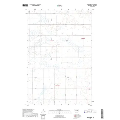
2018 Map of Brantford NW
USGS Topo · Published 2018About this map
Tiffany Flats dominates the northern half of this landscape in Eddy County, illustrating the characteristically flat, pothole-dotted terrain of the North Dakota prairie. This portion of the James River valley region is defined by its precise section-line road network, where local routes like 23rd St NE and Co Rd 3 segment the land into the traditional agricultural blocks of the Public Land Survey System. The presence of Robinson Coulee provides a natural contrast to the man-made grid, winding through the eastern sections where the topography begins to roll with subtle glacial depressions. This survey records the rural infrastructure of the late 2010s, showing a territory largely dedicated to agriculture and natural drainage basins, with no concentrated urban settlements within the immediate vicinity.
Find a feature on this map
16 named features on this map. Tap any name to fly to it.
Don’t see what you’re looking for? This feature index may not catch every label — zoom into the map to look around manually.
Map Details
Editions of this 2018 Brantford NW Map
This is the sole edition of this map. No revisions or reprints were ever made.
Other maps of this area

1928 · Tokio
USGS Topo · 1:62,500

1931 · Oberon
USGS Topo · 1:62,500

1931 · Tokio
USGS Topo · 1:62,500

1944 · Brantford
USGS Topo · 1:62,500

1946 · Brantford
USGS Topo · 1:62,500

1948 · New Rockford
USGS Topo · 1:62,500

1949 · Grace City
USGS Topo · 1:24,000

1950 · New Rockford NE
USGS Topo · 1:24,000

1950 · Brantford NW
USGS Topo · 1:24,000

1950 · Grace City
USGS Topo · 1:24,000