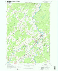
1964 Map of Brasher Falls
USGS Topo · Published 1966About this map
The St Regis River and the West Branch St Regis River converge in the heart of this North Country landscape, anchoring the adjacent communities of Brasher Falls and Winthrop. This mid-1960s survey reveals a region defined by its watercourses and expansive tracts of the St Lawrence State Forest, which dominate the northern and eastern quadrants. The settlement pattern follows the river valleys and a dense network of country roads such as Lacomb Road and Jenkins Corners Road.
Find a feature on this map
49 named features on this map. Tap any name to fly to it.
Don’t see what you’re looking for? This feature index may not catch every label — zoom into the map to look around manually.
Map Details
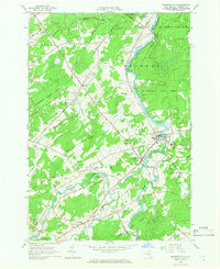
Editions of this 1964 Brasher Falls Map
2 editions found
Other maps of this area

1906 · Massena
USGS Topo · 1:62,500

1907 · Massena
USGS Topo · 1:62,500

1908 · Potsdam
USGS Topo · 1:62,500

1915 · Moira
USGS Topo · 1:62,500

1917 · Moira
USGS Topo · 1:62,500

1919 · Nicholville
USGS Topo · 1:62,500

1921 · Nicholville
USGS Topo · 1:62,500

1942 · Norfolk
USGS Topo · 1:24,000

1942 · Massena
USGS Topo · 1:24,000

1943 · Potsdam
USGS Topo · 1:31,680