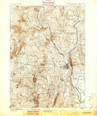
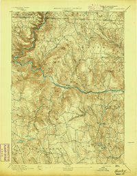
1893 Map of Brattleboro
USGS Topo · Published 1893About this map
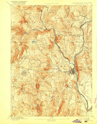
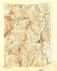
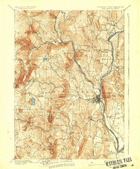
Brattleboro sits as the central hub of this late-19th-century landscape, where the Vermont River serves as the boundary between Vermont and New Hampshire. The late 1800s transportation network is prominently displayed, showing how the Vermont Valley Railroad followed the river corridor while the Brattleboro and Whitehall Railroad carved a path northwest through the hills. This era of industry and extraction is evidenced by a Quarry located on the slopes of Black Mountain near West Dummerston.
Find a feature on this map
61 named features on this map. Tap any name to fly to it.
Don’t see what you’re looking for? This feature index may not catch every label — zoom into the map to look around manually.
Map Details
Editions of this 1893 Brattleboro Map
7 editions found
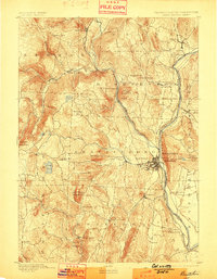
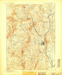
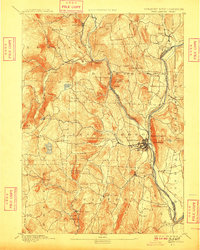
Other maps of this area

1886 · Hawley
USGS Topo · 1:62,500

1887 · Warwick
USGS Topo · 1:62,500

1889 · Warwick
USGS Topo · 1:62,500
1889 · Wilmington
USGS Topo · 1:62,500
1890 · Hawley
USGS Topo · 1:62,500

1890 · Greenfield
USGS Topo · 1:62,500
1891 · Wilmington
USGS Topo · 1:62,500
1891 · Brattleboro
USGS Topo · 1:62,500
1894 · Greenfield
USGS Topo · 1:62,500
1894 · Hawley
USGS Topo · 1:62,500