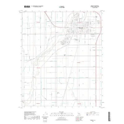
2018 Map of Brawley
USGS Topo · Published 2018About this map
Brawley anchors this 2018 survey of the Imperial Valley, a region defined by an intricate network of engineered waterways that sustain its agricultural heart. The map reveals the sophisticated irrigation and drainage systems essential to this desert basin, including major arteries like the Sandal Canal, Main Spruce Canal, and Rockwood Canal. These channels are complemented by dozens of specialized drains, such as the Rubber Drain and Dahlia Drain, which manage water flow across the arid landscape. Within the city limits, the Brawley Municipal Airport and residential street grids contrast with the surrounding rural sections. Genealogists and local historians can locate established burial grounds like Riverview Cem and Memory Gardens Cem, while the course of the New River meanders through the western portion of the quadrangle, serving as a natural landmark amidst the geometric precision of the valley's canals.
Find a feature on this map
182 named features on this map. Tap any name to fly to it.
Don’t see what you’re looking for? This feature index may not catch every label — zoom into the map to look around manually.
Map Details
Editions of this 2018 Brawley Map
This is the sole edition of this map. No revisions or reprints were ever made.
Other maps of this area

1907 · Holtville
USGS Topo · 1:125,000

1915 · El Centro
USGS Topo · 1:125,000

1940 · Brawley
USGS Topo · 1:62,500

1940 · Iris
USGS Topo · 1:62,500

1940 · Alamorio
USGS Topo · 1:62,500

1942 · El Centro
USGS Topo · 1:250,000

1943 · Brawley
USGS Topo · 1:62,500

1944 · Calipatria
USGS Topo · 1:62,500

1945 · Alamorio
USGS Topo · 1:62,500

1945 · Iris
USGS Topo · 1:62,500