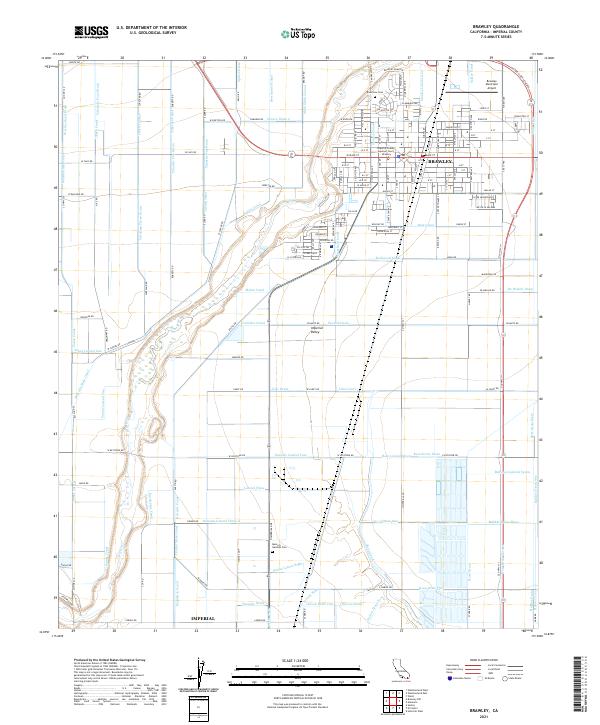
2021 Map of Brawley
USGS Topo · Published 2021About this map
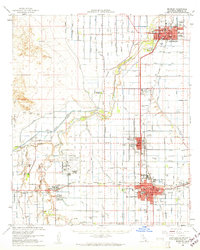
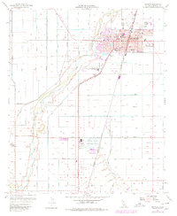
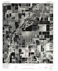
Brawley serves as the focal point of this modern topographic survey, illustrating the complex irrigation and drainage infrastructure that sustains agriculture in the Imperial Valley. The town grid is clearly defined, featuring the Imperial County Superior Court - Brawley and the Brawley Municipal Airport to the northeast. The landscape is characterized by a dense network of man-made waterways, including the Central Main Canal, Rockwood Canal, and Sandal Canal, which facilitate farming across the arid terrain. The New River meanders through the western portion of the map, flanked by numerous drains like the Lilac Drain and Pearsol Drain. Local history and genealogy are supported by the inclusion of Riverview Cem and Memory Gardens Cem, providing essential landmarks for those tracing roots in this productive desert region.
Find a feature on this map
185 named features on this map. Tap any name to fly to it.
Don’t see what you’re looking for? This feature index may not catch every label — zoom into the map to look around manually.
Map Details
Editions of this 2021 Brawley Map
This is the sole edition of this map. No revisions or reprints were ever made.
Historical Maps of Poe Colonia Through Time
6 maps found