Loading...
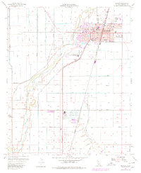
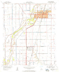
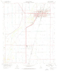
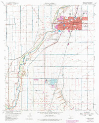
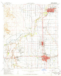
Loading map...1957 Map of Brawley
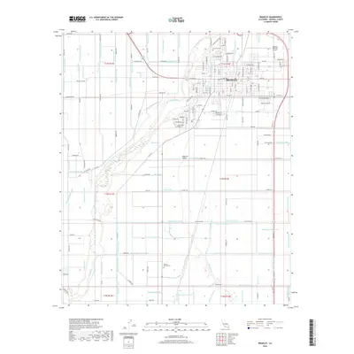
USGS Topo · Published 1979About this map
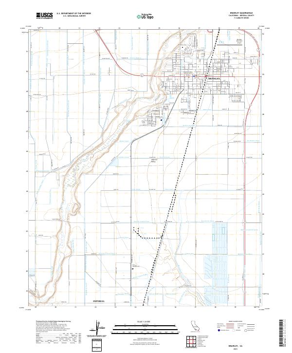
The agricultural grid of the Imperial Valley dominates this mid-century landscape, defined by a complex irrigation network of canals and drains branching from the Central Main Canal. The city of Brawley serves as the regional hub, where the Southern Pacific railroad lines intersect with a dense civic infrastructure. Local history is reflected in the distribution of rural schools like Worth Sch and Oakley Sch, alongside industrial landmarks such as the Sugar Refinery and the Brawley Municipal Airport.
Find a feature on this map
66 named features on this map. Tap any name to fly to it.
Don’t see what you’re looking for? This feature index may not catch every label — zoom into the map to look around manually.
Map Details
Date Portrayed1957
Date Published1979
PublisherU.S. Geological Survey
Map TypeTopographic
Scale1:24,000
Physical Dimensions22 x 26.9 inches
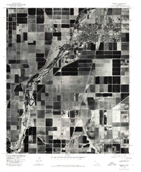
Editions of this 1957 Brawley Map
4 editions found
Historical Maps of Brawley Through Time
9 maps found


Featured Locations
Source Details
SourceU.S. Geological Survey
CopyrightPublic Domain