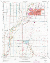
1957 Map of Brawley
USGS Topo · Published 1979About this map
Agricultural precision and the engineered desert landscape define this mid-century portrait of Imperial County. The city of Brawley serves as the hub for a massive network of irrigation, with the Westside Main Canal and dozens of smaller arteries like Lilac Canal and Rose Canal feeding the fertile valley. The New River carves a winding path through the geometric grid of fields, while the Southern Pacific Railroad and a prominent Sugar Refinery signal the area's industrial importance during this era. Local institutions such as Union High School, Pioneer Memorial Hospital, and several neighborhood schools like Reid School and Witter School appear alongside public spaces including Wienering Park and Hawthorne Park. This map details the physical transition of the town as it expanded towards the Brawley Municipal Airport and Riverview Cemetery.
Find a feature on this map
61 named features on this map. Tap any name to fly to it.
Don’t see what you’re looking for? This feature index may not catch every label — zoom into the map to look around manually.
Map Details
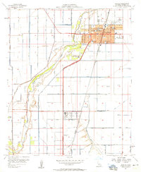
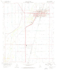
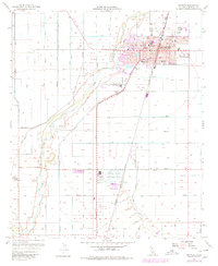
Editions of this 1957 Brawley Map
4 editions found
Other maps of this area

1907 · Holtville
USGS Topo · 1:125,000

1915 · El Centro
USGS Topo · 1:125,000

1940 · Brawley
USGS Topo · 1:62,500

1940 · Iris
USGS Topo · 1:62,500

1940 · Alamorio
USGS Topo · 1:62,500

1942 · El Centro
USGS Topo · 1:250,000

1943 · Brawley
USGS Topo · 1:62,500

1944 · Calipatria
USGS Topo · 1:62,500

1945 · Alamorio
USGS Topo · 1:62,500

1945 · Iris
USGS Topo · 1:62,500