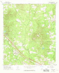
1968 Map of Braxton
USGS Topo · Published 1970About this map
The settlement of Braxton and the educational grounds of the Piney Woods Country Life School anchor this late 1960s survey of the Rankin and Simpson County line. The landscape is defined by the Illinois Central railroad corridor and a network of rural churches and cemeteries that trace the region's lineage, including Rock Hill Ch and Taylor Hill Ch. An old railroad grade in the southeast, near Campbell Creek, points to earlier timber or transit routes that once connected these small communities.
Find a feature on this map
34 named features on this map. Tap any name to fly to it.
Don’t see what you’re looking for? This feature index may not catch every label — zoom into the map to look around manually.
Map Details
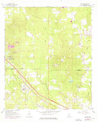
Editions of this 1968 Braxton Map
2 editions found
Other maps of this area

1903 · Jackson
USGS Topo · 1:125,000

1906 · Florence
USGS Topo · 1:62,500

1908 · Florence
USGS Topo · 1:62,500

1953 · Hattiesburg
USGS Topo · 1:250,000

1953 · Meridian
USGS Topo · 1:250,000

1953 · Natchez
USGS Topo · 1:250,000

1955 · Jackson
USGS Topo · 1:250,000

1956 · Natchez
USGS Topo · 1:250,000

1957 · Meridian
USGS Topo · 1:250,000

1958 · Hattiesburg
USGS Topo · 1:250,000