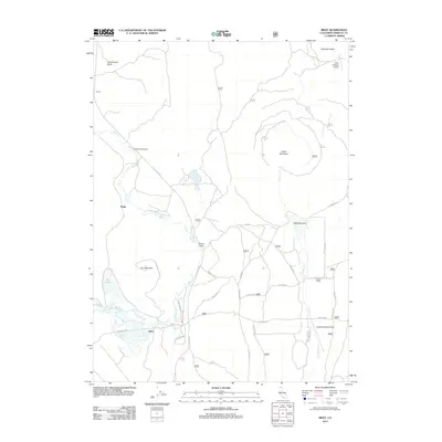
2012 Map of Bray
USGS Topo · Published 2012About this map
Bray and the surrounding high-altitude terrain of Siskiyou County are defined by a network of ranching infrastructure and forestry roads. This landscape features significant natural drainage patterns, including Butte Cr flowing through Round Valley and the distinct basin of Antelope Sink. The presence of Triple R Ranch Airport and Longbell Ranch Airport highlights the logistical importance of private aviation in this part of California, where vast distances separate small settlements like Jerome and Kegg. Travel throughout the area follows the historic route of the Old State Hwy and numerous Forest Service corridors such as Tennant Rd. Prominent summits including Cedar Mountain and Orr Mountain overlook Orr Lake, while recreational land use is represented by the Shafter Campground.
Find a feature on this map
39 named features on this map. Tap any name to fly to it.
Don’t see what you’re looking for? This feature index may not catch every label — zoom into the map to look around manually.
Map Details
Editions of this 2012 Bray Map
This is the sole edition of this map. No revisions or reprints were ever made.
Other maps of this area

1886 · Modoc Lava Bed
USGS Topo · 1:250,000

1886 · Shasta
USGS Topo · 1:250,000

1892 · Modoc Lava-Bed
USGS Topo · 1:250,000

1894 · Shasta
USGS Topo · 1:250,000

1934 · Macdoel
USGS Topo · 1:96,000

1941 · Macdoel
USGS Topo · 1:125,000

1948 · Weed
USGS Topo · 1:250,000

1950 · Weed
USGS Topo · 1:250,000

1950 · Bray
USGS Topo · 1:62,500

1950 · Dorris
USGS Topo · 1:62,500