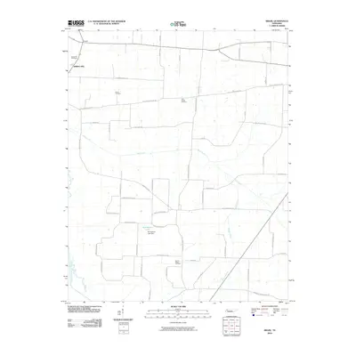
2010 Map of Brazil
USGS Topo · Published 2010About this map
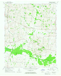
The Middle Fork Forked Deer River defines the southwestern corner of this landscape in Gibson County, Tennessee, during the early 21st century. The map reveals a rural grid heavily shaped by family-named roads and community landmarks, such as the Spring Hill settlement and its nearby Spring Hill Cemetery. Agricultural and local history is visible in the network of routes like Brazil School Rd and Brazil Gin Cutoff Rd, which point to the former social and industrial hubs of the area.
Find a feature on this map
51 named features on this map. Tap any name to fly to it.
Don’t see what you’re looking for? This feature index may not catch every label — zoom into the map to look around manually.
Map Details
Editions of this 2010 Brazil Map
This is the sole edition of this map. No revisions or reprints were ever made.
Other maps of this area

1951 · Trenton
USGS Topo · 1:24,000

1953 · Dyer
USGS Topo · 1:24,000

1956 · Dyersburg
USGS Topo · 1:250,000

1956 · Blytheville
USGS Topo · 1:250,000

1959 · Blytheville
USGS Topo · 1:250,000

1959 · Humboldt
USGS Topo · 1:24,000
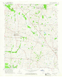
1964 · Maury City
USGS Topo · 1:24,000
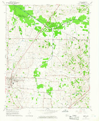
1964 · Alamo
USGS Topo · 1:24,000
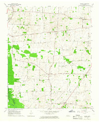
1964 · Brazil
USGS Topo · 1:24,000
1964 · Yorkville
USGS Topo · 1:24,000