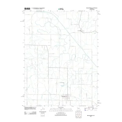
2012 Map of Breckenridge
USGS Topo · Published 2012About this map
The Grand River meanders across the northern and eastern portions of this Missouri landscape, shaping the development of Breckenridge and the smaller settlement of Lock Springs. These communities are connected by a network of rural routes such as Saber Rd and Unity Ave, which navigate a terrain defined by numerous waterways including Clear Creek and Lick Fork. The local infrastructure is highlighted by the Breckenridge Reservoir and the City of Breckenridge Dam, which provide vital water management for the region.
Find a feature on this map
59 named features on this map. Tap any name to fly to it.
Don’t see what you’re looking for? This feature index may not catch every label — zoom into the map to look around manually.
Map Details
Editions of this 2012 Breckenridge Map
This is the sole edition of this map. No revisions or reprints were ever made.
Other maps of this area

1921 · Chillicothe
USGS Topo · 1:62,500

1922 · Gallatin
USGS Topo · 1:62,500

1923 · Chillicothe
USGS Topo · 1:62,500

1924 · Dawn
USGS Topo · 1:62,500

1924 · Braymer
USGS Topo · 1:62,500

1951 · Utica
USGS Topo · 1:62,500

1953 · Moberly
USGS Topo · 1:250,000

1954 · Moberly
USGS Topo · 1:250,000

1957 · Moberly
USGS Topo · 1:250,000

1960 · Moberly
USGS Topo · 1:250,000