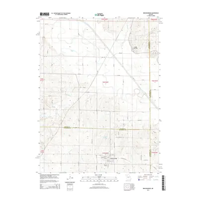
2015 Map of Breckenridge
USGS Topo · Published 2015About this map
Breckenridge stands as the primary hub in this Missouri landscape, situated where the borders of Daviess, Caldwell, and Livingston counties meet. The town's grid is detailed with street names like W Main St and E Grant St, serving as a focal point for the surrounding agricultural region. South of the main settlement, the Breckenridge Reservoir and Rose Hill Cemetery mark the transition into the rolling countryside. To the north, the village of Lock Springs is positioned near the meandering course of the Grand River.
Find a feature on this map
34 named features on this map. Tap any name to fly to it.
Don’t see what you’re looking for? This feature index may not catch every label — zoom into the map to look around manually.
Map Details
Editions of this 2015 Breckenridge Map
This is the sole edition of this map. No revisions or reprints were ever made.
Other maps of this area

1921 · Chillicothe
USGS Topo · 1:62,500

1922 · Gallatin
USGS Topo · 1:62,500

1923 · Chillicothe
USGS Topo · 1:62,500

1924 · Dawn
USGS Topo · 1:62,500

1924 · Braymer
USGS Topo · 1:62,500

1951 · Utica
USGS Topo · 1:62,500

1953 · Moberly
USGS Topo · 1:250,000

1954 · Moberly
USGS Topo · 1:250,000

1957 · Moberly
USGS Topo · 1:250,000

1960 · Moberly
USGS Topo · 1:250,000