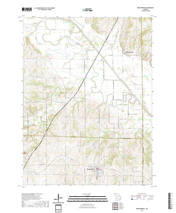
2021 Map of Breckenridge
USGS Topo · Published 2021About this map
The town of Breckenridge anchors the southern portion of this northern Missouri landscape, situated just above the Rose Hill Cem near the borders of Caldwell, Daviess, and Livingston counties. The terrain is defined by the winding course of the Grand River, which meanders through the northern half of the region, creating a wide floodplain flanked by numerous tributaries such as Lick Fork and Clear Cr. This river system historically dictated the settlement patterns and road networks that now crisscross the area, including the small community of Lock Springs to the northeast.
Find a feature on this map
75 named features on this map. Tap any name to fly to it.
Don’t see what you’re looking for? This feature index may not catch every label — zoom into the map to look around manually.
Map Details
Editions of this 2021 Breckenridge Map
This is the sole edition of this map. No revisions or reprints were ever made.
Other maps of this area

1921 · Chillicothe
USGS Topo · 1:62,500

1922 · Gallatin
USGS Topo · 1:62,500

1923 · Chillicothe
USGS Topo · 1:62,500

1924 · Dawn
USGS Topo · 1:62,500

1924 · Braymer
USGS Topo · 1:62,500

1951 · Utica
USGS Topo · 1:62,500

1953 · Moberly
USGS Topo · 1:250,000

1954 · Moberly
USGS Topo · 1:250,000

1957 · Moberly
USGS Topo · 1:250,000

1960 · Moberly
USGS Topo · 1:250,000