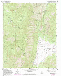
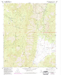
1972 Map of Breckenridge Mtn
USGS Topo · Published 1994About this map
Breckenridge Mountain dominates the northwestern portion of this terrain, where the Sequoia National Forest provides a backdrop for high-altitude meadows and ridges. The landscape transitions from the peaks of Red Mountain and the unique formation at Hole in the Mountain down into the pastoral valley of the Walker Basin Creek. This basin is the center of local ranching and industry, anchored by the Rankin Ranch and several specialized mining operations.
Find a feature on this map
57 named features on this map. Tap any name to fly to it.
Don’t see what you’re looking for? This feature index may not catch every label — zoom into the map to look around manually.
Map Details
Editions of this 1972 Breckenridge Mtn Map
5 editions found
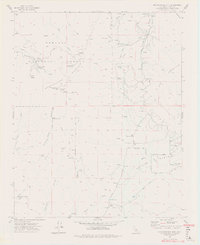
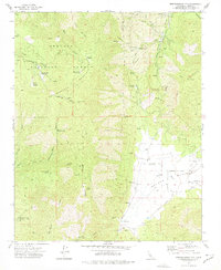
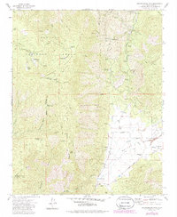
Other maps of this area

1906 · Kernville
USGS Topo · 1:125,000

1908 · Kernville
USGS Topo · 1:125,000

1914 · Caliente
USGS Topo · 1:125,000

1915 · Mojave
USGS Topo · 1:125,000

1920 · Delonagha
USGS Topo · 1:62,500

1926 · Glennville
USGS Topo · 1:62,500

1929 · Bena
USGS Topo · 1:31,680

1932 · Bena
USGS Topo · 1:31,680

1936 · Tobias Peak
USGS Topo · 1:125,000

1943 · Emerald Mtn
USGS Topo · 1:62,500