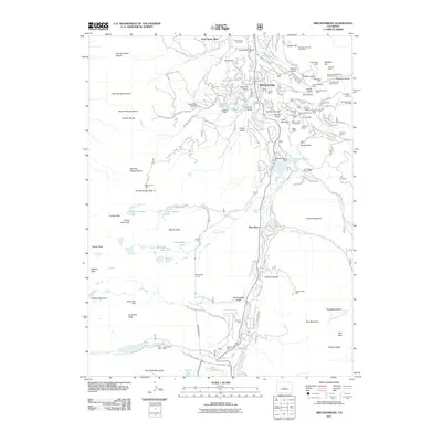
2011 Map of Breckenridge
USGS Topo · Published 2011About this map
Breckenridge serves as the central hub of this high-alpine landscape, where the Blue River flows through a valley defined by intensive mineral extraction and modern recreation. The eastern slopes are densely pocketed with legacy mining sites, including the extensive workings of the Wellington Mine, Siam Mountain Mine, and the Commodore Placer Mine. These industrial remnants sit alongside the Breckenridge Ski Area, illustrating the 21st-century transition of the Tenmile Range from a mining district to a premiere destination for winter sports.
Find a feature on this map
101 named features on this map. Tap any name to fly to it.
Don’t see what you’re looking for? This feature index may not catch every label — zoom into the map to look around manually.
Map Details
Editions of this 2011 Breckenridge Map
This is the sole edition of this map. No revisions or reprints were ever made.
Other maps of this area

1889 · Leadville
USGS Topo · 1:125,000

1891 · Leadville
USGS Topo · 1:125,000

1924 · Montezuma
USGS Topo · 1:62,500

1926 · Montezuma
USGS Topo · 1:62,500

1929 · Dillon
USGS Topo · 1:62,500

1933 · Montezuma
USGS Topo · 1:62,500

1934 · Climax
USGS Topo · 1:48,000

1934 · Dillon
USGS Topo · 1:62,500

1937 · Como
USGS Topo · 1:62,500

1938 · Mt. Lincoln
USGS Topo · 1:48,000