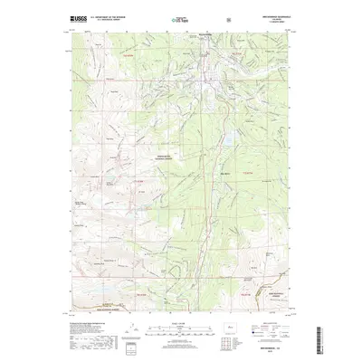
2019 Map of Breckenridge
USGS Topo · Published 2019About this map
The Breckenridge townsite and its sprawling winter sports infrastructure dominate this high-altitude landscape. Situated between the Tenmile Range to the west and the high peaks of the Continental Mountains to the east, the area shows a clear transition from the historical mining era to a recreation-based economy. Evidence of the region's heritage is preserved at the Breckenridge Masonic Cem and Valley Brook Cem, while the industrial past is marked by features like the Quandary Tunnel and the Hoosier Pass Tunnel.
Find a feature on this map
154 named features on this map. Tap any name to fly to it.
Don’t see what you’re looking for? This feature index may not catch every label — zoom into the map to look around manually.
Map Details
Editions of this 2019 Breckenridge Map
This is the sole edition of this map. No revisions or reprints were ever made.
Other maps of this area

1889 · Leadville
USGS Topo · 1:125,000

1891 · Leadville
USGS Topo · 1:125,000

1924 · Montezuma
USGS Topo · 1:62,500

1926 · Montezuma
USGS Topo · 1:62,500

1929 · Dillon
USGS Topo · 1:62,500

1933 · Montezuma
USGS Topo · 1:62,500

1934 · Climax
USGS Topo · 1:48,000

1934 · Dillon
USGS Topo · 1:62,500

1937 · Como
USGS Topo · 1:62,500

1938 · Mt. Lincoln
USGS Topo · 1:48,000