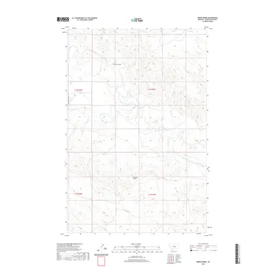
2020 Map of Breed Spring
USGS Topo · Published 2020About this map
Flatwillow Cr winds through this section of Petroleum County, carving a drainage pattern that defines the local topography. This 2020 USGS survey documents the intersection of several seasonal waterways and significant terrain features, including Gorman Coulee and Anderson Coulee. The landscape is largely defined by its drainage network, with Box Elder Cr and N Maginnis Cr feeding into the larger system. While the area is dominated by the natural features of the Missouri River basin, human infrastructure is represented by Petrolia Bench Rd on the western edge of the quadrangle. The namesake Breed Spring appears in the northeast, serving as a critical point of interest for those tracking water resources or early ranching boundaries in this part of central Montana.
Find a feature on this map
11 named features on this map. Tap any name to fly to it.
Don’t see what you’re looking for? This feature index may not catch every label — zoom into the map to look around manually.
Map Details
Editions of this 2020 Breed Spring Map
This is the sole edition of this map. No revisions or reprints were ever made.
Other maps of this area

1954 · Jordan
USGS Topo · 1:250,000

1954 · Forsyth
USGS Topo · 1:250,000

1954 · Roundup
USGS Topo · 1:250,000

1954 · Lewistown
USGS Topo · 1:250,000

1956 · Jordan
USGS Topo · 1:250,000

1957 · Forsyth
USGS Topo · 1:250,000

1958 · Jordan
USGS Topo · 1:250,000

1958 · Roundup
USGS Topo · 1:250,000

1958 · Forsyth
USGS Topo · 1:250,000

1959 · Lewistown
USGS Topo · 1:250,000