
1953 Map of Breeding
USGS Topo · Published 1954About this map
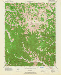
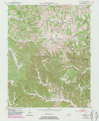
Breeding and Toria serve as the primary hubs in this mid-century portrait of south-central Kentucky, where the borders of Adair, Metcalfe, and Cumberland counties converge. The landscape is defined by its deep dissection by waterways like Crocus Creek, Harrods Fork, and the Little Barren River, which together have carved out a series of prominent ridges such as Moss Ridge and Independence Ridge. This topography dictated the placement of early rural infrastructure, with small community schools and country churches positioned along the higher ground.
Find a feature on this map
42 named features on this map. Tap any name to fly to it.
Don’t see what you’re looking for? This feature index may not catch every label — zoom into the map to look around manually.
Map Details
Editions of this 1953 Breeding Map
3 editions found
Other maps of this area

1953 · Gradyville
USGS Topo · 1:24,000

1953 · Waterview
USGS Topo · 1:24,000

1953 · Edmonton
USGS Topo · 1:24,000

1953 · Amandaville
USGS Topo · 1:24,000

1953 · Burkesville
USGS Topo · 1:24,000

1953 · Dubre
USGS Topo · 1:24,000

1953 · East Fork
USGS Topo · 1:24,000

1954 · Columbia
USGS Topo · 1:24,000

1956 · Corbin
USGS Topo · 1:250,000

1957 · Winchester
USGS Topo · 1:250,000