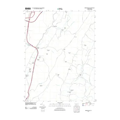
2010 Map of Breezewood
USGS Topo · Published 2010About this map
Breezewood serves as a major transportation hub at the edge of the Ridge-and-Valley Appalachians, where the terrain transitions into a complex system of hollows and gaps. The landscape south of the town is defined by narrow valleys and prominent ridges like Jackson Ridge and Emmaville Mountain. Throughout this area, small communities such as Akersville and Crystal Spring are connected by a network of rural roads that follow the natural contours of the land, including Akersville Rd and Barton Rd.
Find a feature on this map
70 named features on this map. Tap any name to fly to it.
Don’t see what you’re looking for? This feature index may not catch every label — zoom into the map to look around manually.
Map Details
Editions of this 2010 Breezewood Map
This is the sole edition of this map. No revisions or reprints were ever made.
Other maps of this area

1900 · Everett
USGS Topo · 1:62,500

1902 · Everett
USGS Topo · 1:62,500

1925 · Needmore
USGS Topo · 1:48,000

1927 · Clearville
USGS Topo · 1:48,000

1930 · Broad Top
USGS Topo · 1:62,500

1931 · Clearville
USGS Topo · 1:62,500

1933 · Broad Top
USGS Topo · 1:62,500

1935 · Needmore
USGS Topo · 1:62,500

1939 · Needmore
USGS Topo · 1:62,500

1944 · Clearville
USGS Topo · 1:62,500
Featured Places
- East Providence Township, PA
- Gapsville, East Providence Township
- Akersville, Brush Creek Township
- Licking Creek Township, PA
- Brush Creek Township, PA