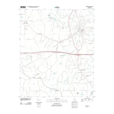
2011 Map of Bremen
USGS Topo · Published 2011About this map
Bremen and Waco serve as the primary hubs in this western Georgia landscape, where the long-standing influence of the Norfolk Southern railroad intersects with modern infrastructure. The map reveals a transition from these established town centers to rural crossroads and community landmarks such as Mount Zion, Jake, and the historically significant Budapest. The area is notably dense with local heritage sites, including several well-marked burial grounds like Holly Springs Cemetery and Union Camp Ground Cemetery. This modern survey documents the area's layout just after the first decade of the 21st century, showing the expansion around the West Georgia Regional Airport and the complex network of local routes like Old Bowden Waco Rd and Murphy Industrial Blvd that support the region's contemporary economy. Smaller water bodies such as Bremen Reservoir and Muse Lake dot the terrain, highlighting the local hydrology and its integration into the residential and industrial landscape.
Find a feature on this map
123 named features on this map. Tap any name to fly to it.
Don’t see what you’re looking for? This feature index may not catch every label — zoom into the map to look around manually.
Map Details
Editions of this 2011 Bremen Map
This is the sole edition of this map. No revisions or reprints were ever made.
Other maps of this area

1889 · Tallapoosa
USGS Topo · 1:125,000

1892 · Tallapoosa
USGS Topo · 1:125,000

1897 · Tallapoosa
USGS Topo · 1:125,000

1953 · Atlanta
USGS Topo · 1:250,000

1957 · Atlanta
USGS Topo · 1:250,000

1958 · Atlanta
USGS Topo · 1:250,000

1958 · Carrollton
USGS Topo · 1:62,500

1958 · Buchanan
USGS Topo · 1:62,500

1965 · Tallapoosa South
USGS Topo · 1:24,000

1966 · Tallapoosa North
USGS Topo · 1:24,000