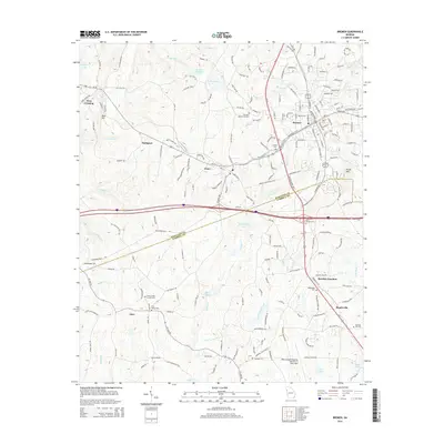
2014 Map of Bremen
USGS Topo · Published 2014About this map
Bremen serves as the primary hub in this West Georgia landscape, situated at a major crossroads where the Norfolk Southern railway lines parallel the path of Us-78. This 2014 survey captures the region's established residential and industrial footprint, stretching from the small settlement of Waco in the west to Bowdon Junction and Mandeville in the southeast. The map illustrates a dense network of local roads such as Asa Cash Rd and Budapest Rd, providing clear evidence of the area's development patterns.
Find a feature on this map
201 named features on this map. Tap any name to fly to it.
Don’t see what you’re looking for? This feature index may not catch every label — zoom into the map to look around manually.
Map Details
Editions of this 2014 Bremen Map
This is the sole edition of this map. No revisions or reprints were ever made.
Other maps of this area

1889 · Tallapoosa
USGS Topo · 1:125,000

1892 · Tallapoosa
USGS Topo · 1:125,000

1897 · Tallapoosa
USGS Topo · 1:125,000

1953 · Atlanta
USGS Topo · 1:250,000

1957 · Atlanta
USGS Topo · 1:250,000

1958 · Atlanta
USGS Topo · 1:250,000

1958 · Carrollton
USGS Topo · 1:62,500

1958 · Buchanan
USGS Topo · 1:62,500

1965 · Tallapoosa South
USGS Topo · 1:24,000

1966 · Tallapoosa North
USGS Topo · 1:24,000