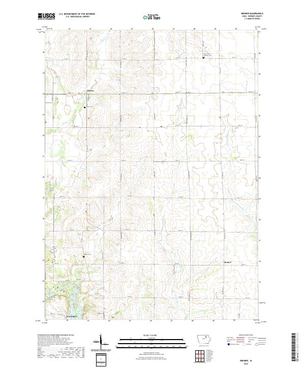
2022 Map of Bremer
USGS Topo · Published 2022About this map
Cedar River flows through the southwestern corner of this Iowa landscape, where the northern outskirts of Waverly begin to transition into the organized section lines of Bremer County. This township structure is defined by a rigorous grid of rural roads like Co Hwy V14 and Garden Ave, which connect small outlying settlements such as Horton and Bremer. The area is characterized by several distinct drainage patterns, including the meandering paths of Baskins Run and Quarter Section Run.
Find a feature on this map
39 named features on this map. Tap any name to fly to it.
Don’t see what you’re looking for? This feature index may not catch every label — zoom into the map to look around manually.
Map Details
Editions of this 2022 Bremer Map
This is the sole edition of this map. No revisions or reprints were ever made.
Other maps of this area

1954 · Waterloo
USGS Topo · 1:250,000

1955 · Waterloo
USGS Topo · 1:250,000

1963 · Waverly
USGS Topo · 1:24,000

1963 · Denver
USGS Topo · 1:24,000

1971 · Shell Rock
USGS Topo · 1:24,000

1971 · Bremer
USGS Topo · 1:24,000

1971 · Tripoli NW
USGS Topo · 1:24,000

1971 · Plainfield
USGS Topo · 1:24,000

1971 · Frederika
USGS Topo · 1:24,000

1971 · Tripoli
USGS Topo · 1:24,000