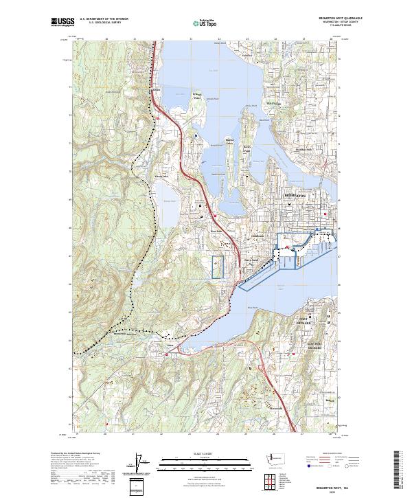
2023 Map of Bremerton West
USGS Topo · Published 2023About this map
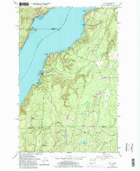
Naval Base Kitsap Bremerton, WA and the Shipyard Puget Sound anchor the industrial and military character of this coastline where the Port Washington Narrows connects Dyes Inlet to Sinclair Inlet. The urban core of Bremerton is densely mapped, showing its expansion into neighborhoods like West Park, Charleston, and Navy Yard City. The landscape transitions from the heavy infrastructure of the shipyards and the Kitsap County Courthouse in Port Orchard to the wooded terrain of the Great Peninsula. Genealogists will find a concentration of burial grounds, from the Phinney Bay Indian Cem to Ivy Green Cem. Moving inland, the map tracks the flow of Chico Creek and Wildcat Creek as they feed into the bay near settlements like Chico and Erlands Point.
Find a feature on this map
231 named features on this map. Tap any name to fly to it.
Don’t see what you’re looking for? This feature index may not catch every label — zoom into the map to look around manually.
Map Details
Editions of this 2023 Bremerton West Map
This is the sole edition of this map. No revisions or reprints were ever made.
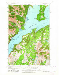
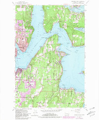
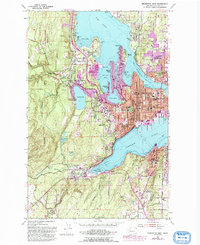
Historical Maps of East Bremerton Through Time
18 maps found
1936 Point Misery
Kitsap County, WA

1937 Port Gamble
Kitsap County, WA

1940 Point Misery
Kitsap County, WA

1940 Port Gamble
Kitsap County, WA
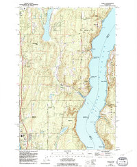
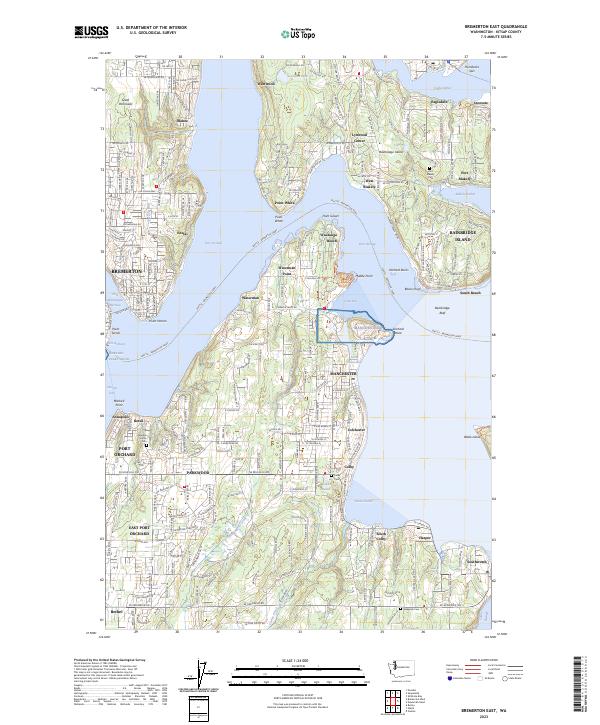
1953 Bremerton East
Kitsap County, WA
1953 Bremerton West
Kitsap County, WA
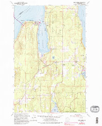
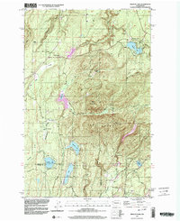
1953 Holly
Kitsap County, WA
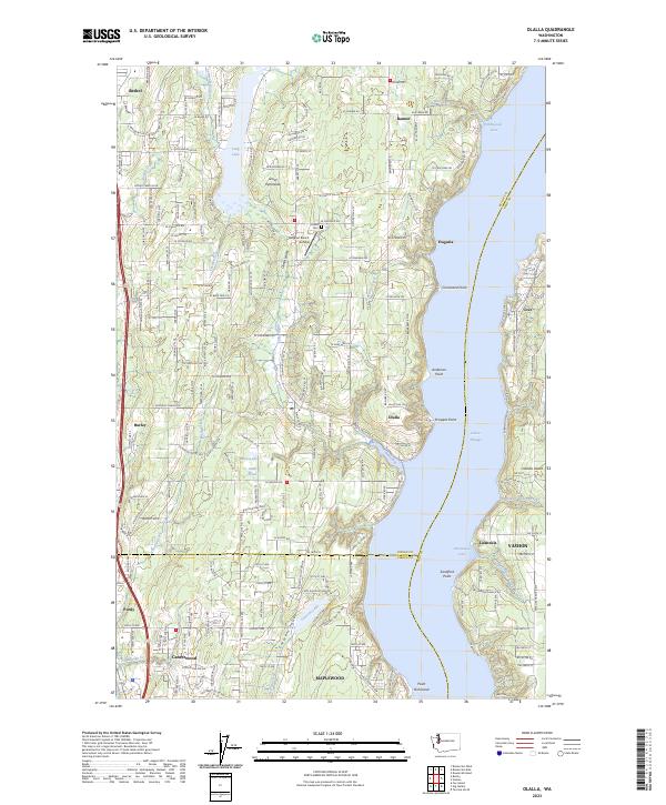
1953 Olalla
Kitsap County, WA
1953 Port Gamble
Kitsap County, WA
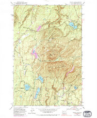
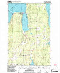
1953 Wildcat Lake
Kitsap County, WA
1997 Port Gamble
Kitsap County, WA
1997 Wildcat Lake
Kitsap County, WA
2023 Bremerton East
Kitsap County, WA
2023 Bremerton West
Kitsap County, WA
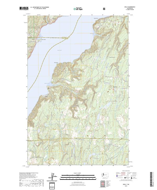
2023 Holly
Kitsap County, WA
2023 Olalla
Kitsap County, WA
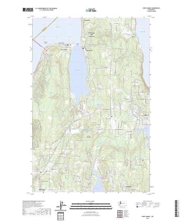
2023 Port Gamble
Kitsap County, WA
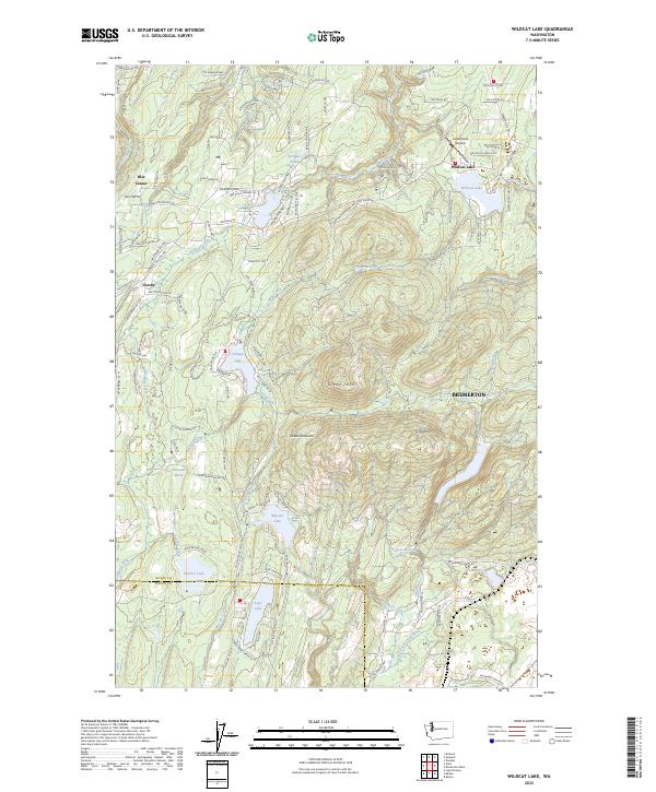
2023 Wildcat Lake
Kitsap County, WA
Featured Locations
- Erlands Point-Kitsap Lake, WA
- Port Orchard, WA
- Bremerton, WA
- Tracyton, WA
- East Port Orchard, Port Orchard