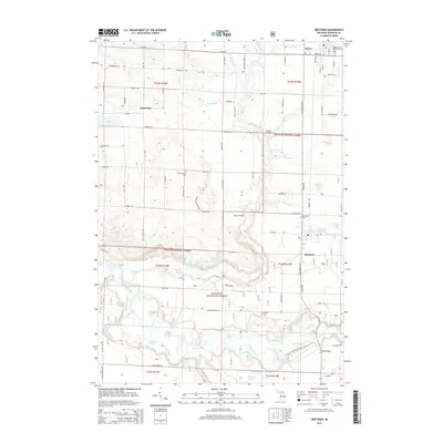
2014 Map of Brethren
USGS Topo · Published 2014About this map
The Manistee River and its intricate network of bayous, including Sergeant Bayou and Deer Lake Bayou, dominate the southern half of this landscape within the Manistee National Forest. This 2014 survey documents the enduring layout of rural settlements like Kaleva and Brethren, where the grid of sections is still clearly visible through the placement of local roads like Coates Hwy and Tannerville Rd. Several family and community sites appear throughout the township, including the Maple Grove Township Cem and Dickson Cem.
Find a feature on this map
58 named features on this map. Tap any name to fly to it.
Don’t see what you’re looking for? This feature index may not catch every label — zoom into the map to look around manually.
Map Details
Editions of this 2014 Brethren Map
This is the sole edition of this map. No revisions or reprints were ever made.
Other maps of this area

1933 · Peacock NW
USGS Topo · 1:31,680

1954 · Traverse City
USGS Topo · 1:250,000

1954 · Manitowoc
USGS Topo · 1:250,000

1956 · Onekama
USGS Topo · 1:62,500

1957 · Freesoil
USGS Topo · 1:62,500

1957 · Copemish
USGS Topo · 1:62,500

1957 · Wellston
USGS Topo · 1:62,500

1958 · Traverse City
USGS Topo · 1:250,000

1958 · Manitowoc
USGS Topo · 1:250,000

1976 · Onekama SE
USGS Topo · 1:24,000