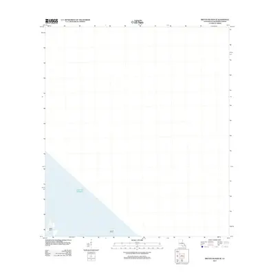
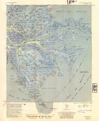
2012 Map of Breton Islands SE
USGS Topo · Published 2012About this map
Japan Island and the surrounding waters of the Gulf of Mexico dominate this 2012 maritime and coastal survey of Plaquemines Parish. The map serves as a record of the shifting coastal landscape of the outer Mississippi River delta region, where landforms are increasingly vulnerable to erosion and sea-level change. While much of the area is submerged, industrial activity remains a defining characteristic of the offshore environment, exemplified by the Block 69 Oil Field located in the southern portion of the sheet. This survey provides a specific view of the region's petroleum infrastructure and coastal geography as they existed during the early second decade of the 21st century.
Find a feature on this map
3 named features on this map. Tap any name to fly to it.
Don’t see what you’re looking for? This feature index may not catch every label — zoom into the map to look around manually.
Map Details
Editions of this 2012 Breton Islands SE Map
This is the sole edition of this map. No revisions or reprints were ever made.
Other maps of this area

1893 · East Delta
USGS Topo · 1:62,500

1947 · Pass A Loutre West
USGS Topo · 1:31,680

1947 · Main Pass
USGS Topo · 1:31,680

1947 · Pass A Loutre East
USGS Topo · 1:31,680
1950 · Breton Islands
USGS Topo · 1:24,000

1953 · Breton Island
USGS Topo · 1:62,500
1954 · Pass A Loutre East
USGS Topo · 1:31,680
1954 · Pass A Loutre West
USGS Topo · 1:31,680
1954 · East Delta
USGS Topo · 1:62,500

1957 · Breton Sound
USGS Topo · 1:250,000