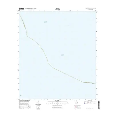
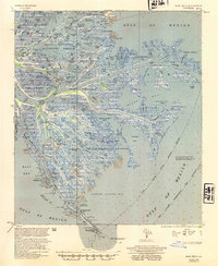
2015 Map of Breton Islands SE
USGS Topo · Published 2015About this map
Japan Island stands as a small landform at the southwestern edge of this coastal survey, appearing amidst the expanse of the Gulf of Mexico. Located in Plaquemines Parish, Louisiana, the map illustrates a landscape defined primarily by open water and maritime boundaries. The diagonal parish line marks the jurisdictional reach of the mainland into these coastal waters. This specific geographic profile highlights the fragility of Louisiana's outer marshlands and islands, where small features like Japan Island provide critical points of reference for navigation and local history in a region increasingly dominated by the sea.
Find a feature on this map
5 named features on this map. Tap any name to fly to it.
Don’t see what you’re looking for? This feature index may not catch every label — zoom into the map to look around manually.
Map Details
Editions of this 2015 Breton Islands SE Map
This is the sole edition of this map. No revisions or reprints were ever made.
Other maps of this area

1893 · East Delta
USGS Topo · 1:62,500

1947 · Pass A Loutre West
USGS Topo · 1:31,680

1947 · Main Pass
USGS Topo · 1:31,680

1947 · Pass A Loutre East
USGS Topo · 1:31,680
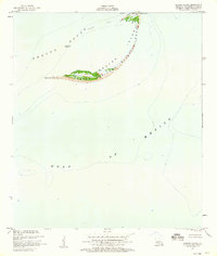
1950 · Breton Islands
USGS Topo · 1:24,000

1953 · Breton Island
USGS Topo · 1:62,500
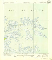
1954 · Pass A Loutre East
USGS Topo · 1:31,680
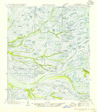
1954 · Pass A Loutre West
USGS Topo · 1:31,680
1954 · East Delta
USGS Topo · 1:62,500

1957 · Breton Sound
USGS Topo · 1:250,000