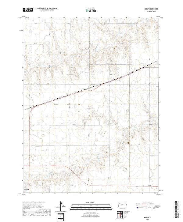
2022 Map of Breton
USGS Topo · Published 2022About this map
Breton sits at the heart of this Thomas County landscape, where the high plains of western Kansas are defined by a strictly surveyed grid of section roads. The terrain is shaped by the subtle drainage patterns of the Prairie Dog Cr in the north and the N Fork Solomon River further south, illustrating the vital role of these seasonal waterways in an otherwise arid agricultural region. While Halford anchors the southwestern corner, the map primarily documents the enduring township and range system that has dictated land use here for generations. This 2022 edition provides a clear record of the intersection between modern infrastructure and the traditional livestock and farming tracts that have characterized this portion of the state since the era of homesteading.
Find a feature on this map
19 named features on this map. Tap any name to fly to it.
Don’t see what you’re looking for? This feature index may not catch every label — zoom into the map to look around manually.
Map Details
Editions of this 2022 Breton Map
This is the sole edition of this map. No revisions or reprints were ever made.
Other maps of this area

1951 · Selden
USGS Topo · 1:62,500

1951 · Achilles
USGS Topo · 1:62,500

1954 · Goodland
USGS Topo · 1:250,000

1956 · Goodland
USGS Topo · 1:250,000

1957 · Goodland
USGS Topo · 1:250,000

1978 · Long Draw South
USGS Topo · 1:24,000

1978 · Achilles SE
USGS Topo · 1:24,000

1978 · Selden SW
USGS Topo · 1:24,000

1979 · Menlo
USGS Topo · 1:24,000

1979 · Rexford
USGS Topo · 1:24,000