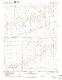
1979 Map of Breton
USGS Topo · Published 1979About this map
Breton stands as the central point of activity in this High Plains landscape, situated along the tracks of the Chicago Rock Island and Pacific railroad. The terrain is defined by the drainage patterns of the North Fork Solomon River in the south and the winding course of Prairie Dog Creek across the northern sections, with Dog Creek adding further texture to the prairie surface. These watercourses have long dictated the layout of the land, visible here through the established township boundaries of Wendell, Lacey, Smith, North Randall, and Menlo. Aside from the rail corridor and the scattered infrastructure of a Gravel Pit, the land remains primarily agricultural. The inclusion of the Roadside Park near the railroad indicates the importance of transportation and transit in Thomas County during the late 1970s.
Find a feature on this map
12 named features on this map. Tap any name to fly to it.
Don’t see what you’re looking for? This feature index may not catch every label — zoom into the map to look around manually.
Map Details
Editions of this 1979 Breton Map
This is the sole edition of this map. No revisions or reprints were ever made.
Other maps of this area

1951 · Selden
USGS Topo · 1:62,500

1951 · Achilles
USGS Topo · 1:62,500

1954 · Goodland
USGS Topo · 1:250,000

1956 · Goodland
USGS Topo · 1:250,000

1957 · Goodland
USGS Topo · 1:250,000

1978 · Long Draw South
USGS Topo · 1:24,000

1978 · Achilles SE
USGS Topo · 1:24,000

1978 · Selden SW
USGS Topo · 1:24,000

1979 · Menlo
USGS Topo · 1:24,000

1979 · Rexford
USGS Topo · 1:24,000