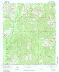
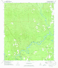
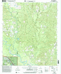
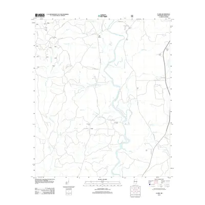
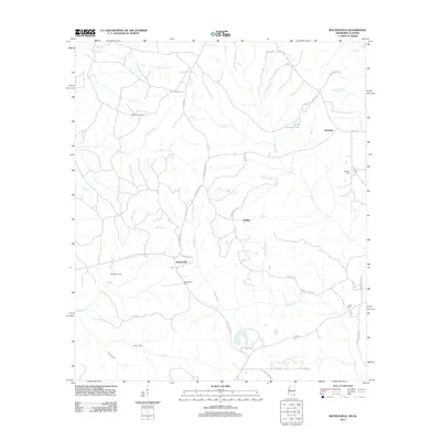
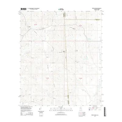
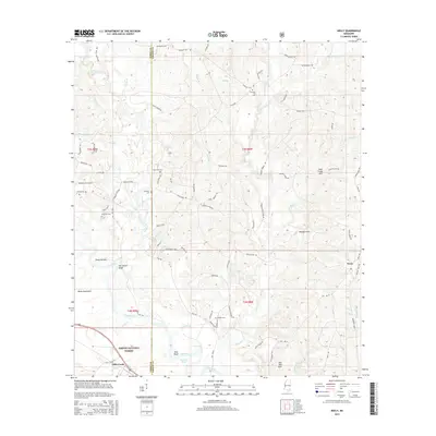
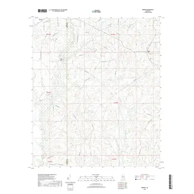
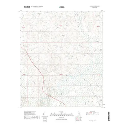
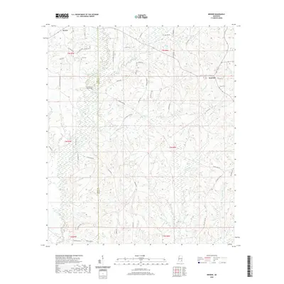
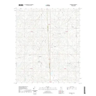
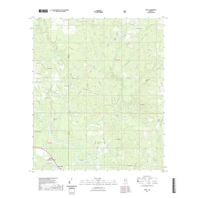
1963 Map of Brewer
USGS Topo · Published 1985About this map
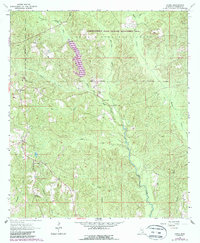
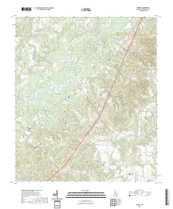
The Perry and Greene County border divides this landscape of dense creek networks and small rural congregations during the early 1960s. The northern reaches are anchored by Brewer and the settlement of Sand Hill, where local life centered around Sand Hill Cemetery and the nearby Zion Rest Ch. The terrain is defined by a intricate system of watercourses including Piney Woods Creek, Beetree Creek, and Boykin Creek, which drain the timberlands of southeast Mississippi.
Find a feature on this map
30 named features on this map. Tap any name to fly to it.
Don’t see what you’re looking for? This feature index may not catch every label — zoom into the map to look around manually.
Map Details
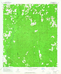
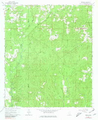
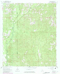
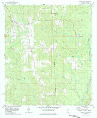
Editions of this 1963 Brewer Map
4 editions found
Historical Maps of Sand Hill Through Time
55 maps found
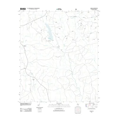
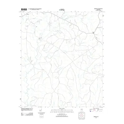
1963 Brewer
Greene County, MS
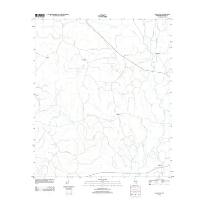
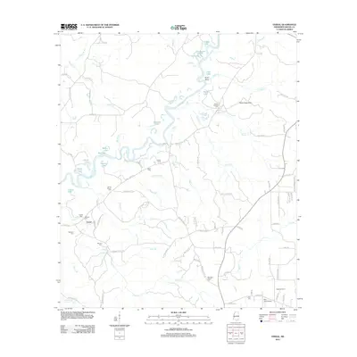
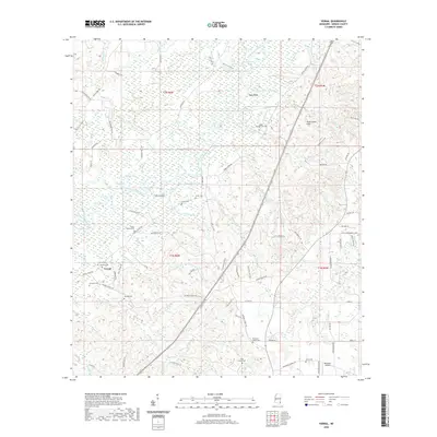
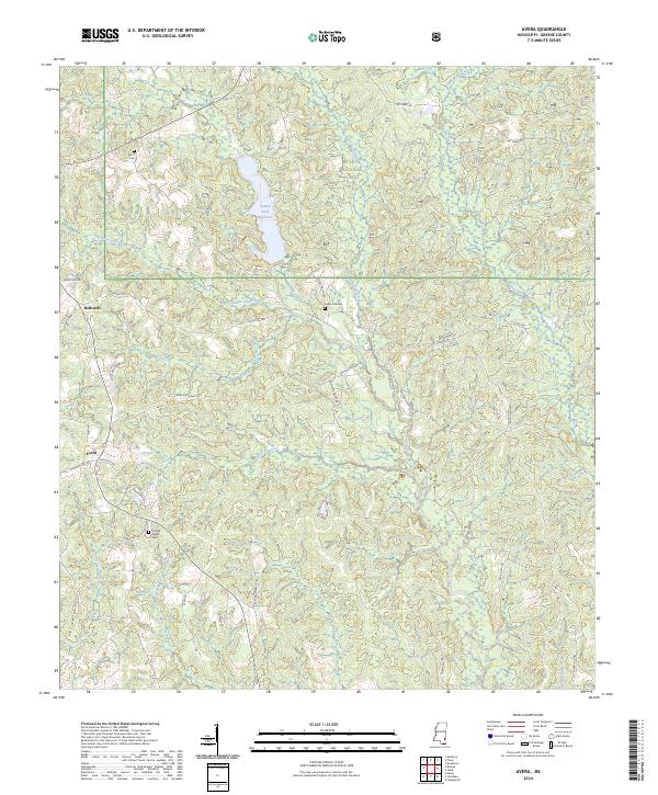
1964 Avera
Greene County, MS
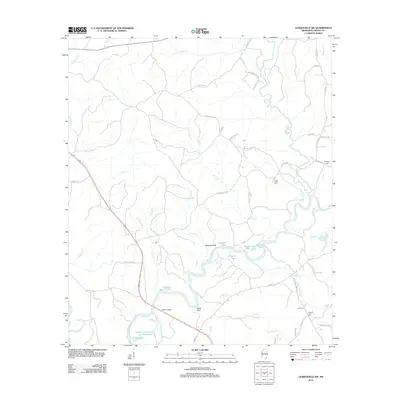
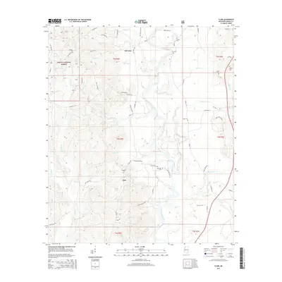
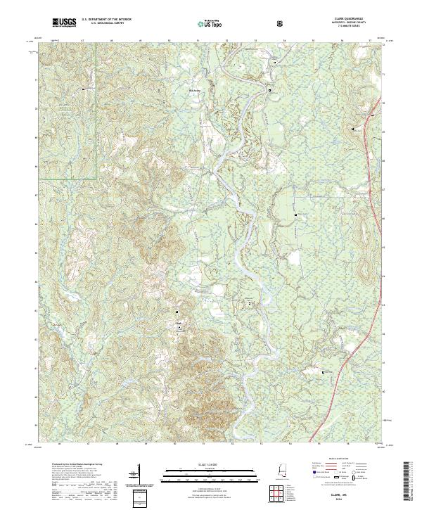
1964 Clark
Greene County, MS
1972 Vernal
Greene County, MS
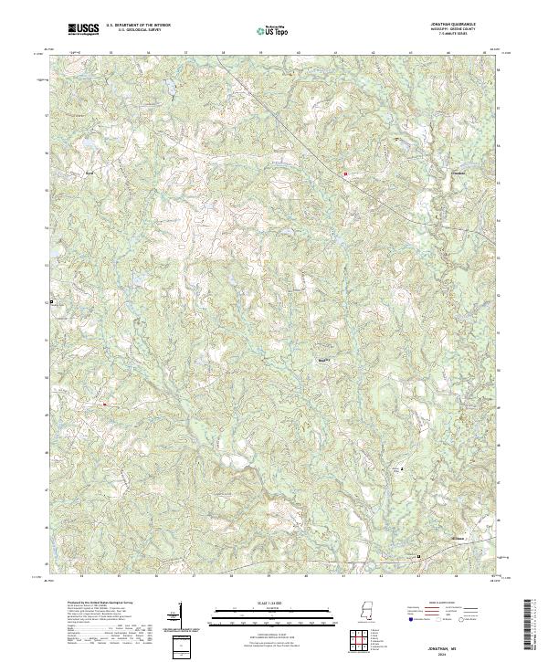
1973 Jonathan
Greene County, MS
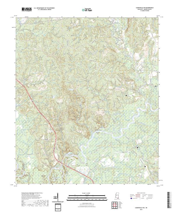
1973 Leakesville SW
Greene County, MS
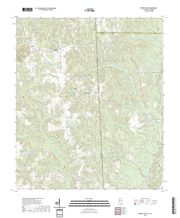
1982 Brown Town
Greene County, MS
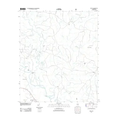
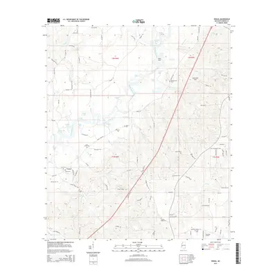
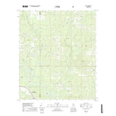
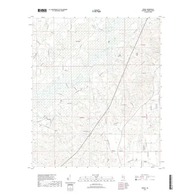
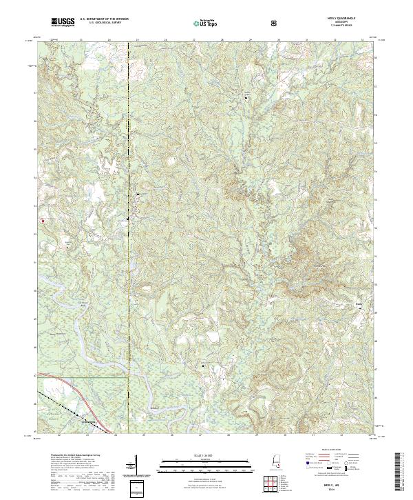
1982 Neely
Greene County, MS
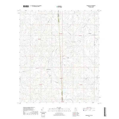
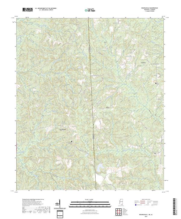
1982 Rounsaville
Greene County, MS
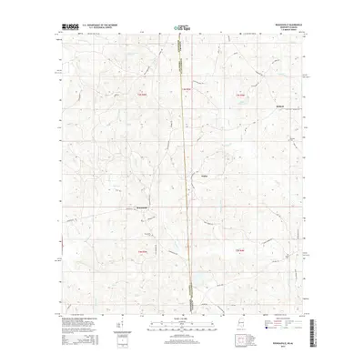
2000 Neely
Greene County, MS
2012 Avera
Greene County, MS
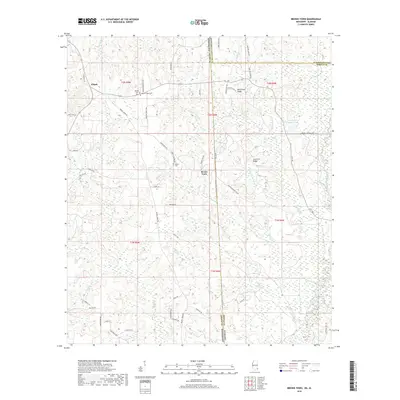
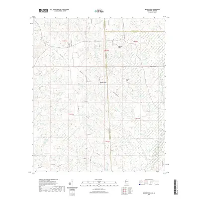
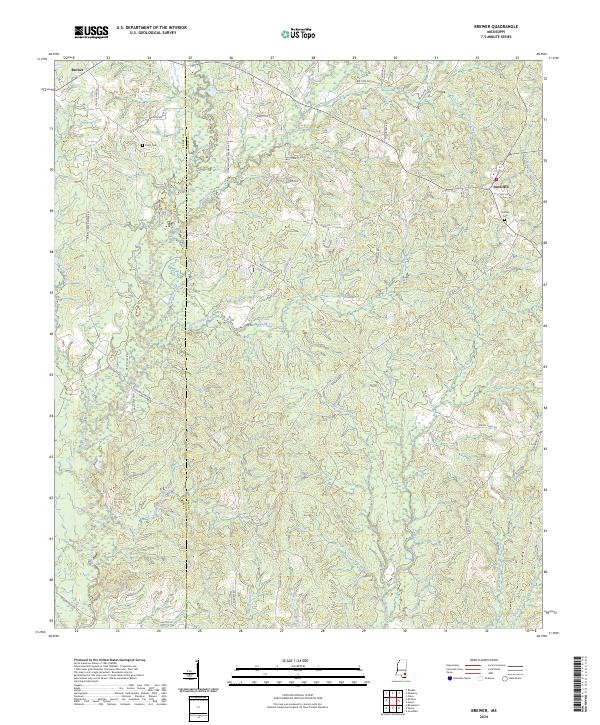
2012 Brewer
Greene County, MS
2012 Brown Town
Greene County, MS
2012 Clark
Greene County, MS
2012 Jonathan
Greene County, MS
2012 Leakesville SW
Greene County, MS
2012 Neely
Greene County, MS
2012 Rounsaville
Greene County, MS
2012 Vernal
Greene County, MS
2015 Avera
Greene County, MS
2015 Brewer
Greene County, MS
2015 Brown Town
Greene County, MS
2015 Clark
Greene County, MS
2015 Jonathan
Greene County, MS
2015 Leakesville SW
Greene County, MS
2015 Neely
Greene County, MS
2015 Rounsaville
Greene County, MS
2015 Vernal
Greene County, MS
2018 Avera
Greene County, MS
2018 Brewer
Greene County, MS
2018 Brown Town
Greene County, MS
2018 Clark
Greene County, MS
2018 Jonathan
Greene County, MS
2018 Leakesville SW
Greene County, MS
2018 Neely
Greene County, MS
2018 Rounsaville
Greene County, MS
2018 Vernal
Greene County, MS
2020 Brewer
Greene County, MS
2020 Brown Town
Greene County, MS
2020 Jonathan
Greene County, MS
2020 Leakesville SW
Greene County, MS
2020 Rounsaville
Greene County, MS
2020 Vernal
Greene County, MS
2021 Avera
Greene County, MS
2021 Clark
Greene County, MS
2021 Neely
Greene County, MS
2024 Avera
Greene County, MS
2024 Brewer
Greene County, MS
2024 Brown Town
Greene County, MS
2024 Clark
Greene County, MS
2024 Jonathan
Greene County, MS
2024 Leakesville SW
Greene County, MS
2024 Neely
Greene County, MS
2024 Rounsaville
Greene County, MS
2024 Vernal
Greene County, MS